Victoria in firing line as intense low pressure system moves south
Victoria is in the firing line after an intense low pressure that lashed New South Wales and Queensland moves south east of the country across the weekend.
Parts of the state will experience heavy rain and unseasonably cold temperatures.
Yesterday was the coldest November day on record in parts of Victoria.
READ MORE: Young family trapped in outback by floodwaters
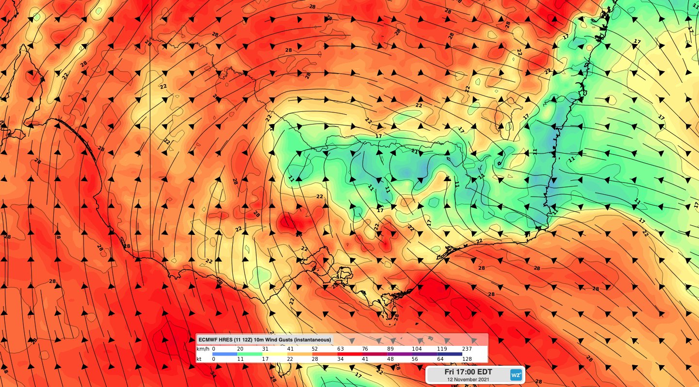
The main concern is the Gippsland region, in the state's east, where there could be flash flooding and strong winds.
SES teams have already been busy.
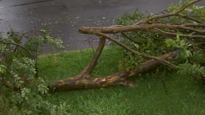
They've fielded more than 350 calls for help – mainly for trees down and for building damage.
As the low moves off the east coast it will continue to bring heavy rain to Tasmania, Victoria and NSW before easing and clearing off-shore on Saturday night.
Onshore winds ahead of a front will bring showers to southern SA and southeast WA, while a trough will lead to a few storms in the north as well as drawing heat across WA.
A number of flood warnings remain in place across Queensland, NSW, Victoria, Tasmania and South Australia.
It comes after states were hit with some of their highest rainfall totals in years, sparking flash flooding and rising rivers.
Parts of inland Queensland saw falls of over 100mm, with the highest being 157mm at Red Hill.
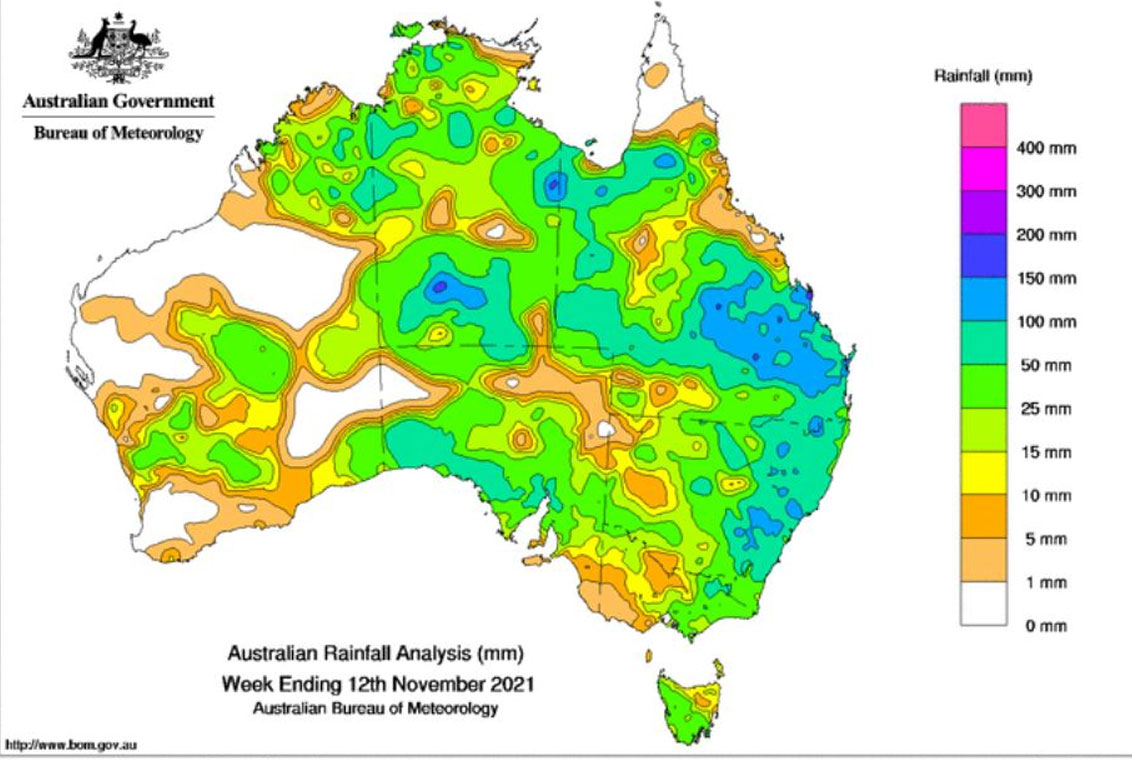
But the deluge wasn't limited to the eastern states with a Bureau of Meteorology weekly rainfall total map showing much of the country got a soaking.
Most notably, Alice Springs in the Northern Territory.
In the five days to 9am Thursday, Alice Springs Airport received 153.4mm of rain, which is around five months' worth of rain for this time of year.
Weatherzone reports that this included 100.2mm in 24 hours – their heaviest daily rain in 21 years at Alice Springs.
– Reported with Australian Bureau of Meteorology and Weatherzone


