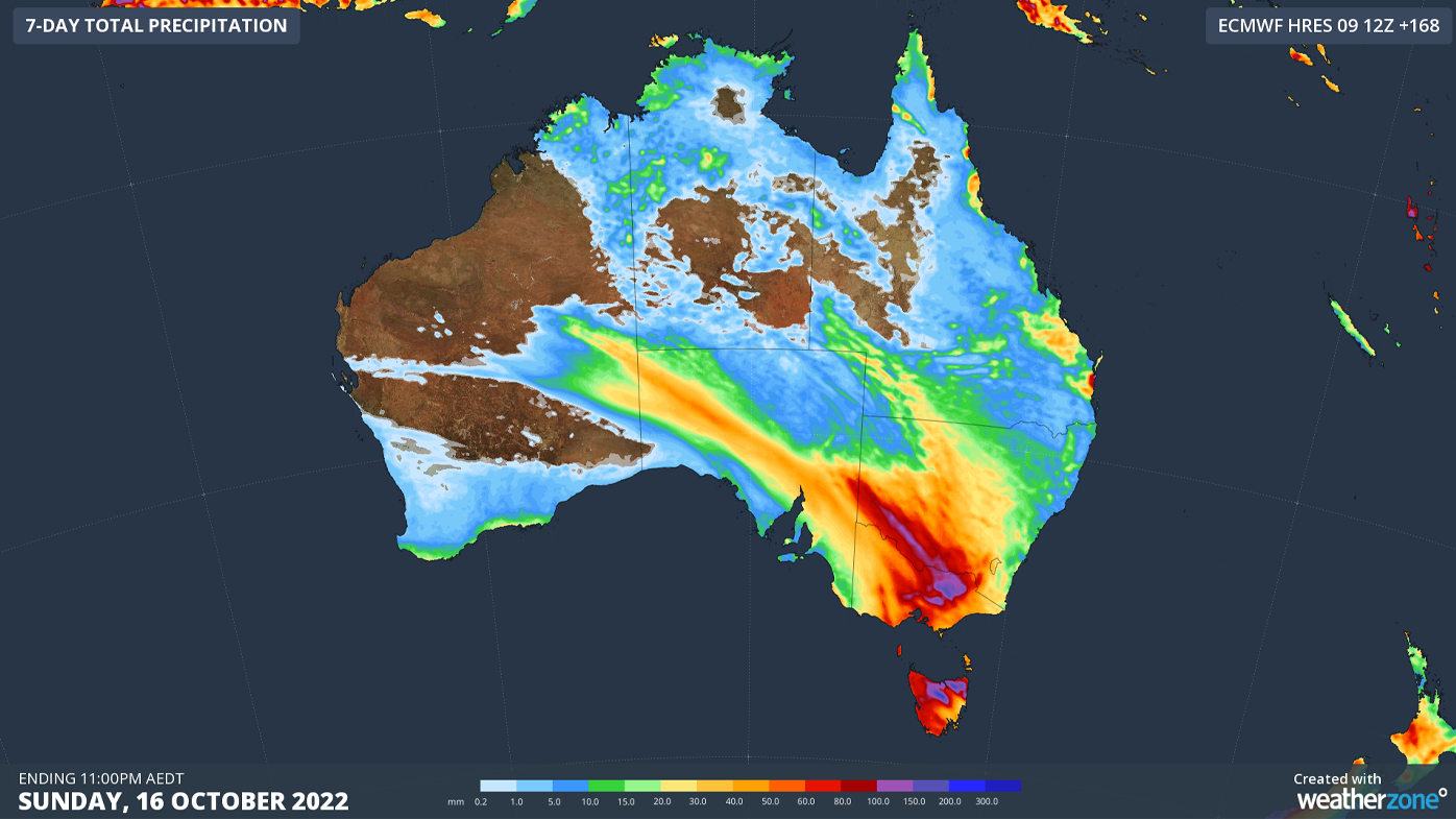
Multiple states are in the path of a major rain band forecast to hit through the rest of the week.
Some areas could see between 100mm and 200mm of rain, as the system moves through New South Wales, Victoria, Tasmania, South Australia, the Australian Capital Territory, and south-west Queensland.
Snowmelt in Victoria is predicted to cause flooding.
READ MORE: Brother of man who may have been alive in morgue speaks out
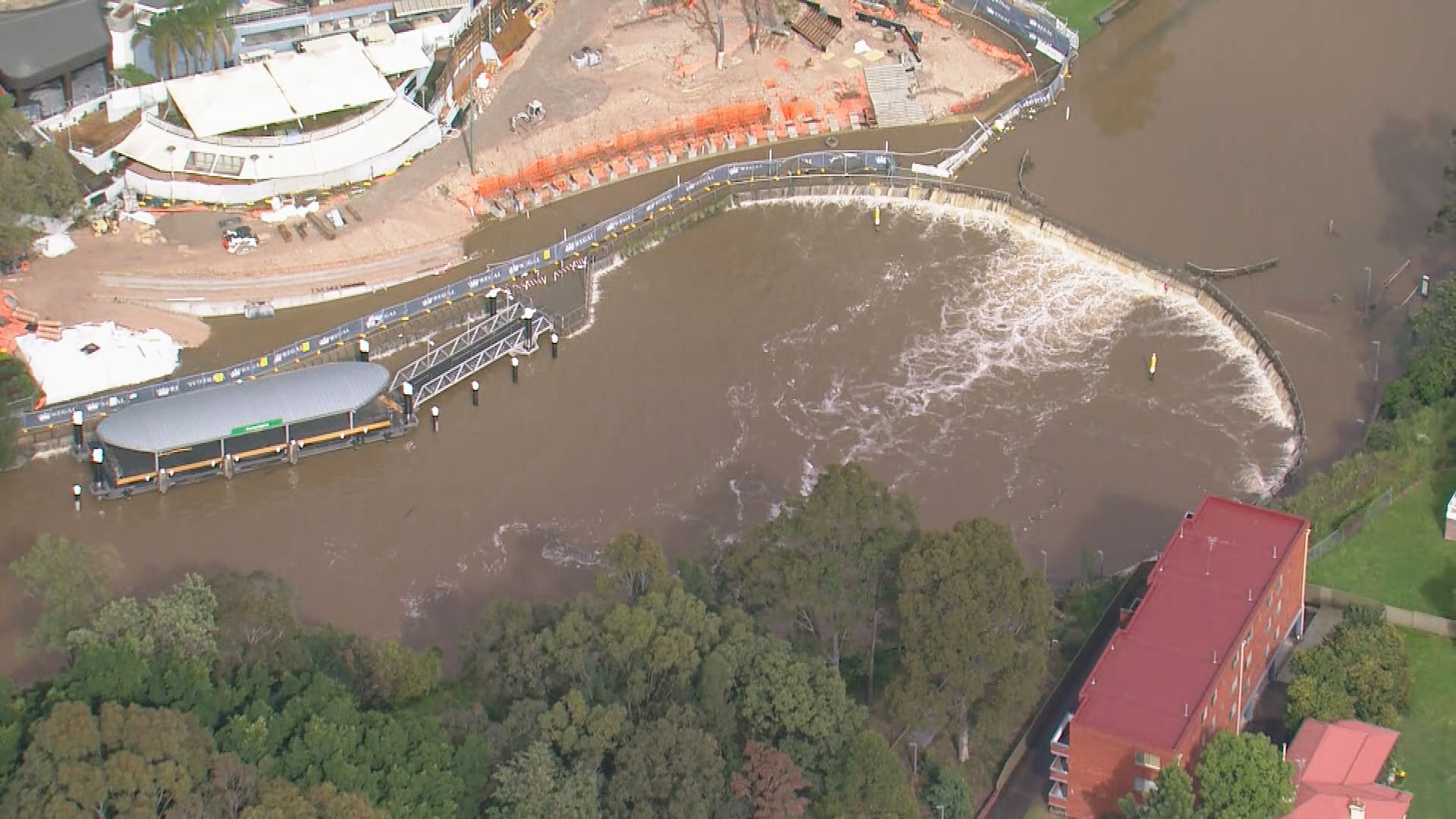
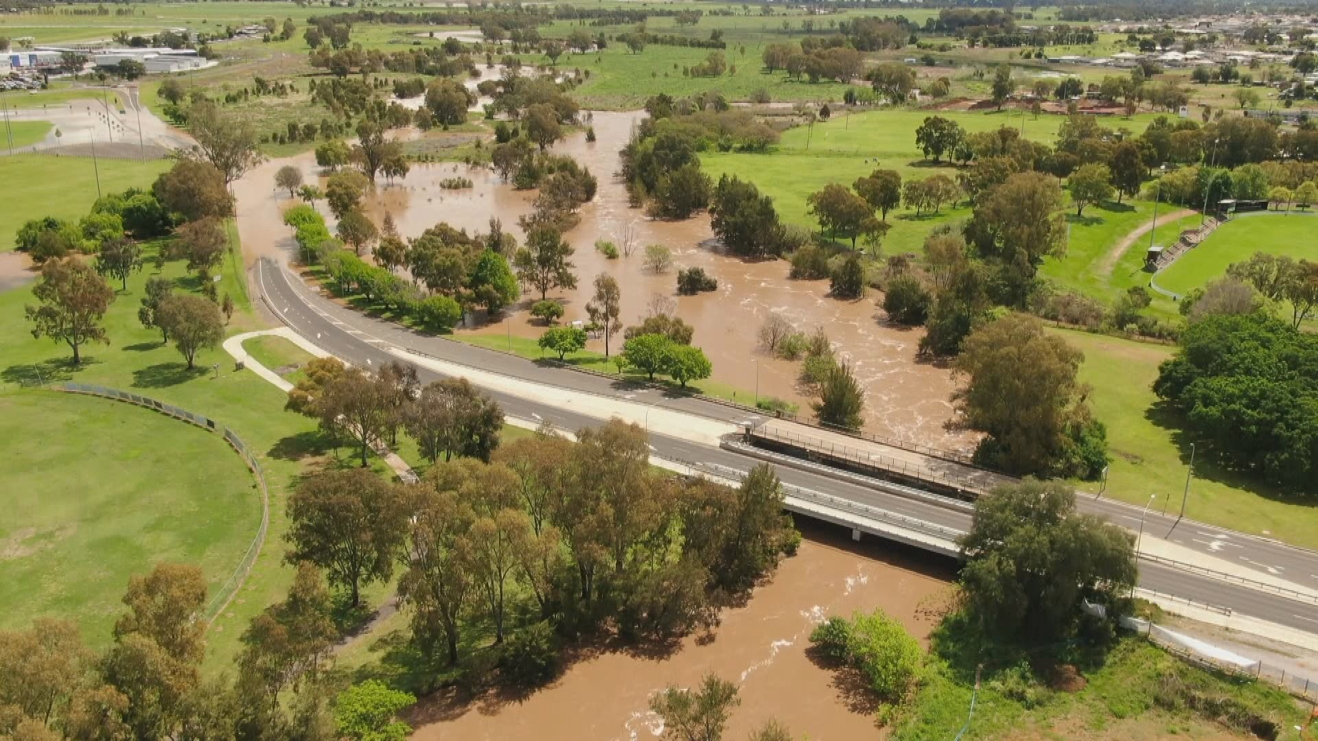
NSW also remains on flood alert after heavy rain over the weekend saw rivers rise in western Sydney and the state's Central West and Hunter.
Multiple warnings remain in place across the state, and residents are warned the new weather system will only exacerbate the problem.
"There is still some uncertainty regarding exactly where and how much rain will fall, although all of the main global forecast models are anticipating heavy rain in parts of Tas and Vic in the middle of this week," Weatherzone has reported.
READ MORE: Woman spits at Macca's staff in 'vile and disgusting' incident
Thunderstorms have also been forecast in western NSW and south-west Queensland for Thursday.
Meanwhile, Queensland residents have been urged to prepare for an extended cyclone season in coming months.
October to April is the peak time for Australia's most extreme weather, including floods, storms and heatwaves.
READ MORE: Sydney in grips of one of its bloodiest ever gangland wars
The 2022-23 long-range forecast includes:
- An increased risk of an above-average number of tropical cyclones and tropical lows
- An increased risk of widespread flooding for eastern and northern Australia
- Normal bushfire potential in eastern states, but an elevated risk of grass fires in southern Australia
- Increased risk of prolonged heatwaves in southern areas with higher humidity
- Normal risk of severe thunderstorms, but with possible increase in risk of thunderstorm asthma events if conditions are dry in late spring and early summer
The Bureau issued the long-range forecast today in advance of the November 1 to April 30 cyclone season.
This season there is a greater than 70 per cent chance of at least 11 tropical cyclones, which is the long-term average, impacting the Australian region.
Communities are urged to prepare now as there is an increased chance that the first tropical cyclone in the Australian region is likely to be earlier in the season.
Source: 9News


