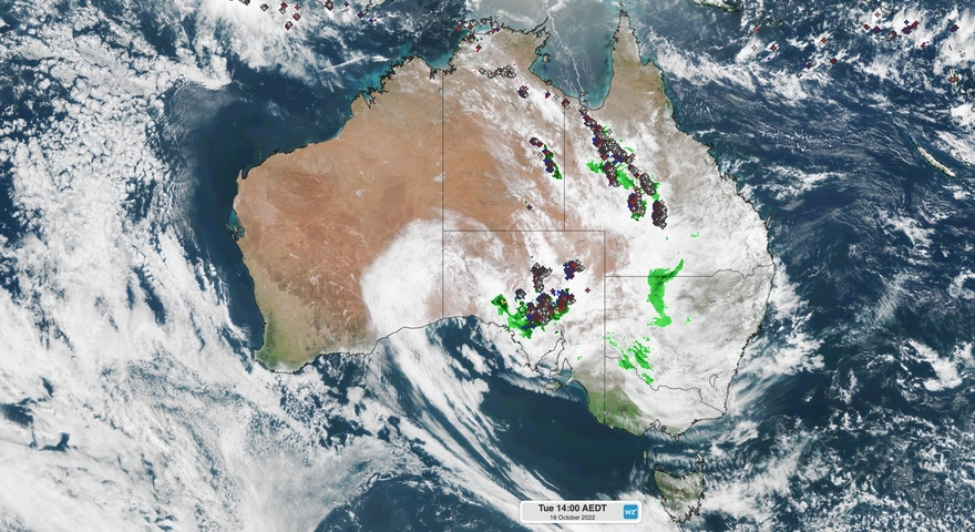
A 2000-kilometre band of thunderstorms was seen stretching over the Northern Territory and South Australia yesterday, putting the entire east coast once again on flood alert as forecasters warn wild weather will be felt in nearly every state.
The storm activity is being driven by moisture-laden air, which is interacting with a low pressure system.
Weatherzone said the storm band gives "a preview of what's heading for eastern Australia over the next few days".
READ MORE: Ukraine's power, water supplies under Russian attack again
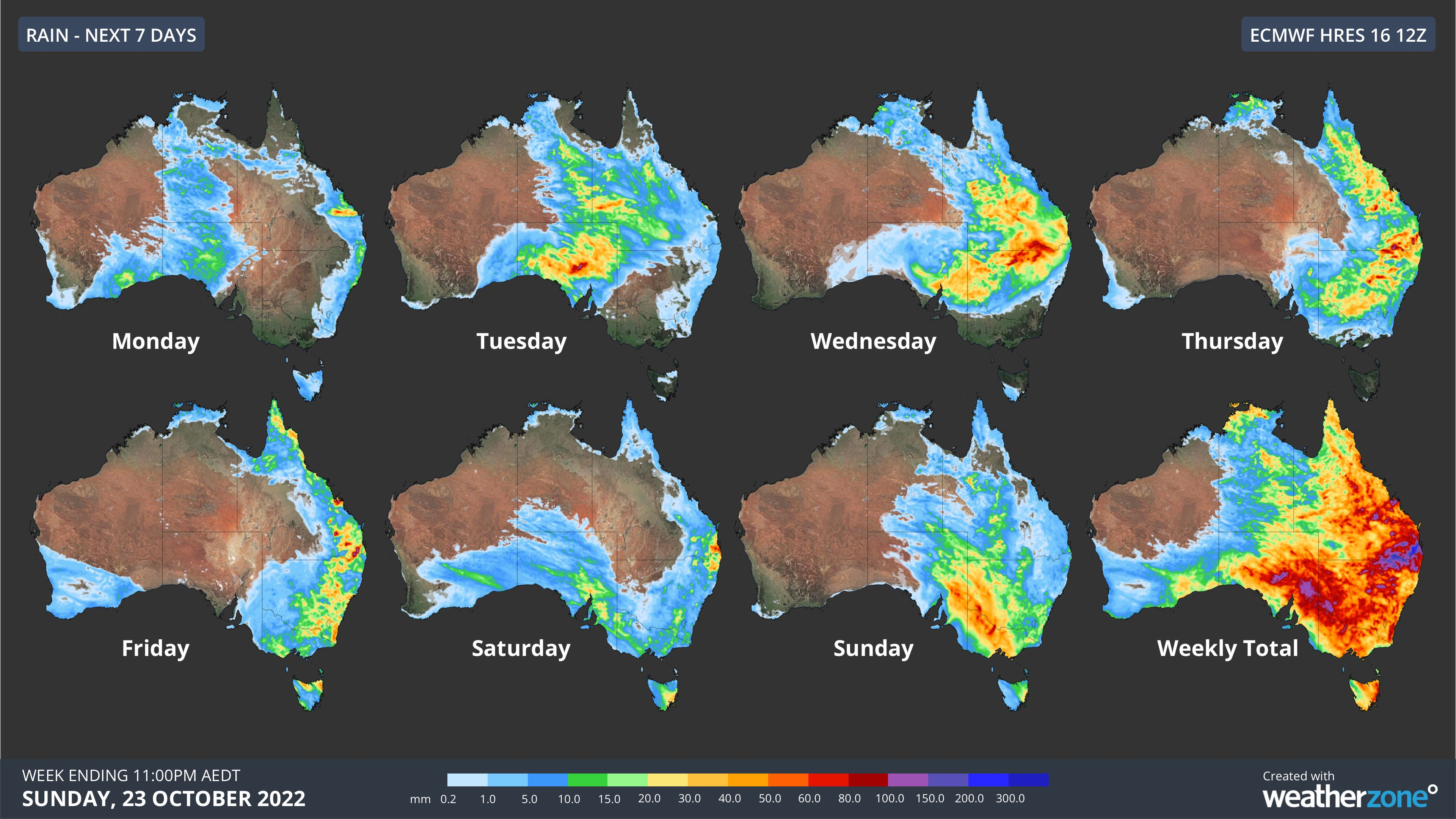
"Looking ahead, the upper-level low and its associated rain and thunderstorm activity will continue to spread further east during the next few days," the weather service said.
"This weather system will produce areas of heavy rain and severe thunderstorms over multiple states during the next several days.
"Some of this rain is likely to cause flooding, including areas of the Murray Darling Basin that have received heavy rain recently."
READ MORE: The BoM wants you to stop calling them that
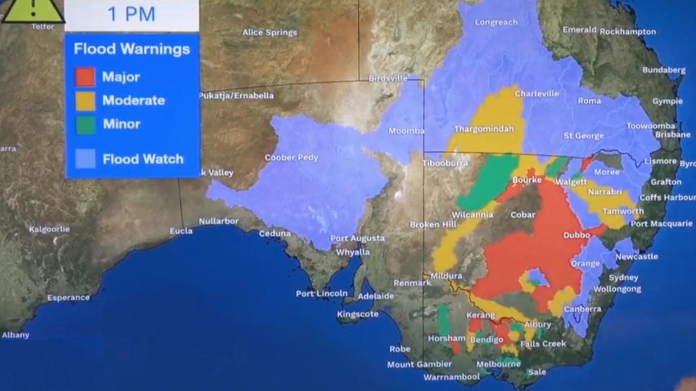
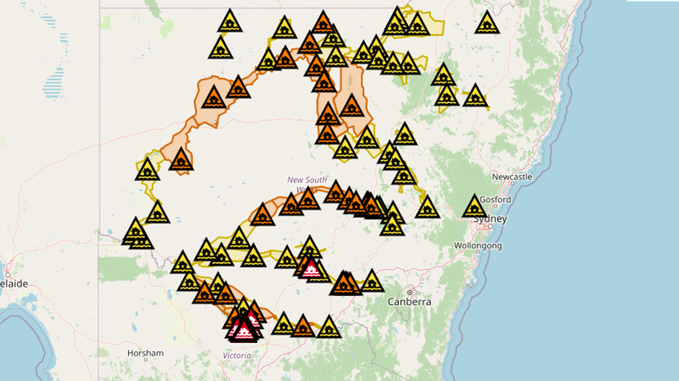
The warnings are being echoed by the Bureau of Meteorology, who has issued an expansive flood watch across multiple states.
Senior meteorologist at the Bureau, Dean Narramore said the system will increase the flood risk through Victoria, New South Wales and parts of Queensland.
"In anticipation of that, we do have not only flood warnings with the ongoing flooding across large parts of NSW and Victoria now, but we have also issued flood watches," he said.
"Here in this purple area, through large parts of South Australia, much of southern inland Queensland, and a number of our rivers that aren't flooded across eastern parts of NSW."
READ MORE: Research suggests why mosquitoes are more attracted to some people
Narramore said the wild, stormy weather will be felt in the eastern states from Wednesday and endure for the rest of the week.
"As we move into Wednesday we will see that system move further eastwards bringing widespread rain and storms through Queensland, NSW, and continuing in eastern parts of South Australia."
He said "quite severe thunderstorms" will hit eastern NSW and Queensland on Thursday.
"We could see large hail, damaging winds, and very heavy rainfall," Narramore said, adding Victoria will cop the worst of it from Thursday evening, into Friday.
"This is not good news for our already flooded areas."
Residents who live "anywhere across eastern Australia" are being warned to stay up to date with warnings.
The Bureau said widespread rainfall totals of 25 to 50 mm are likely across South Australia, Queensland, New South Wales, Tasmania, and Victoria this week.
Rainfall will be heavier in southern inland Queensland on and west of the ranges in New South Wales and northern Victoria, with falls between 50 to 100 mm forecast.
READ MORE: Warning as venomous snakes spotted swimming through floodwater
Major flooding continues in Victoria and NSW
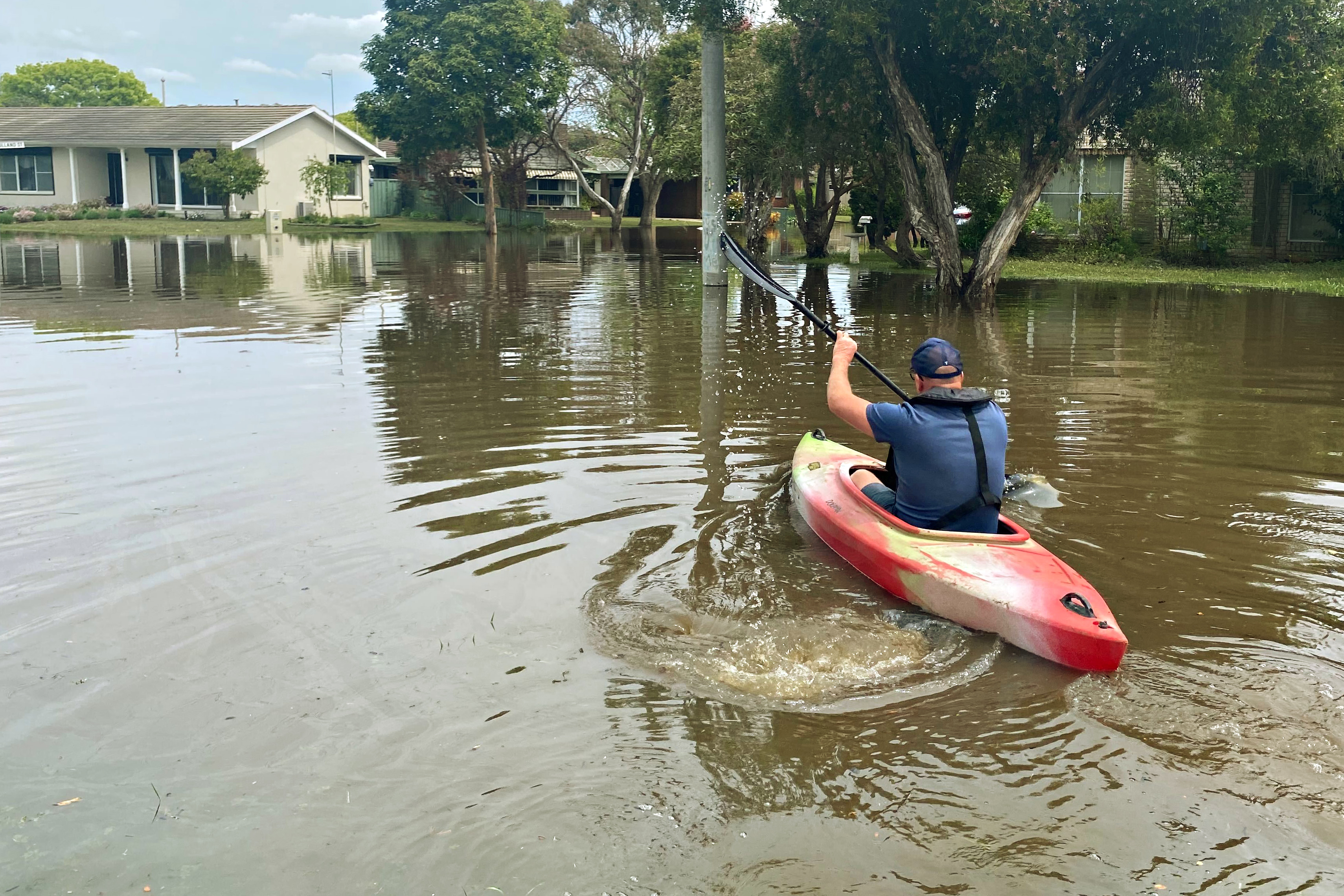
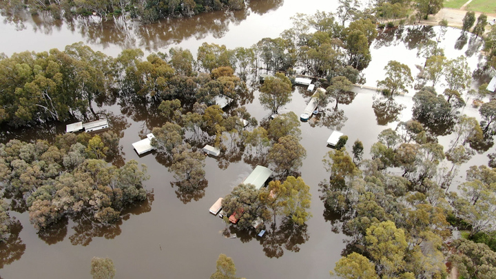
The warnings come as broad swathes of NSW and Victoria remain in flood.
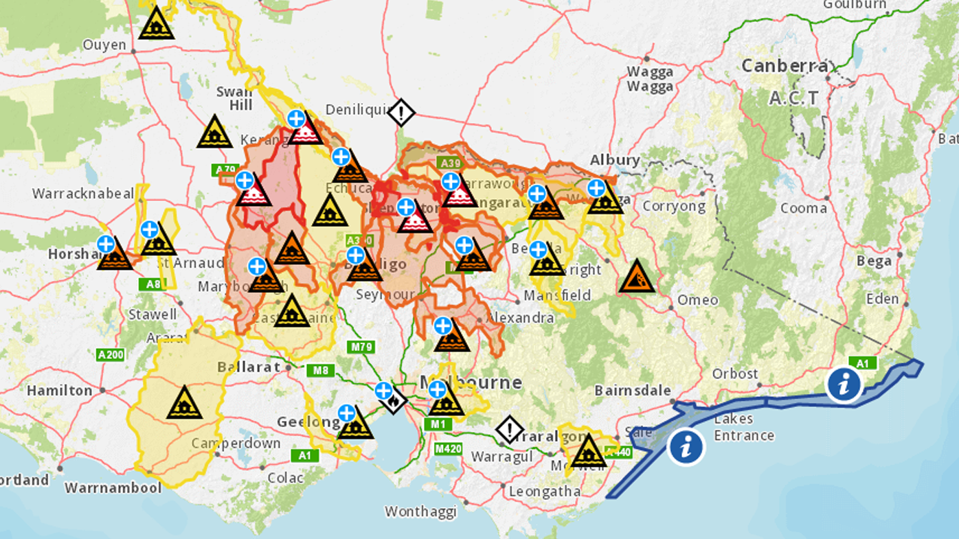
As of 5.30am AEDT, Victoria has more than 50 flood warnings in place, stretching from north of Melbourne to the NSW border.
Evacuation orders are current for Echuca and Echuca Village, Barmah and Lower Moira, as well as Bunbartha, Zeerust, Mundoona and Kaarimba.
There have been 22 flood rescues statewide over the past 24 hours.
One of the areas of most concern is the town of Echuca, which is facing renewed river rises.
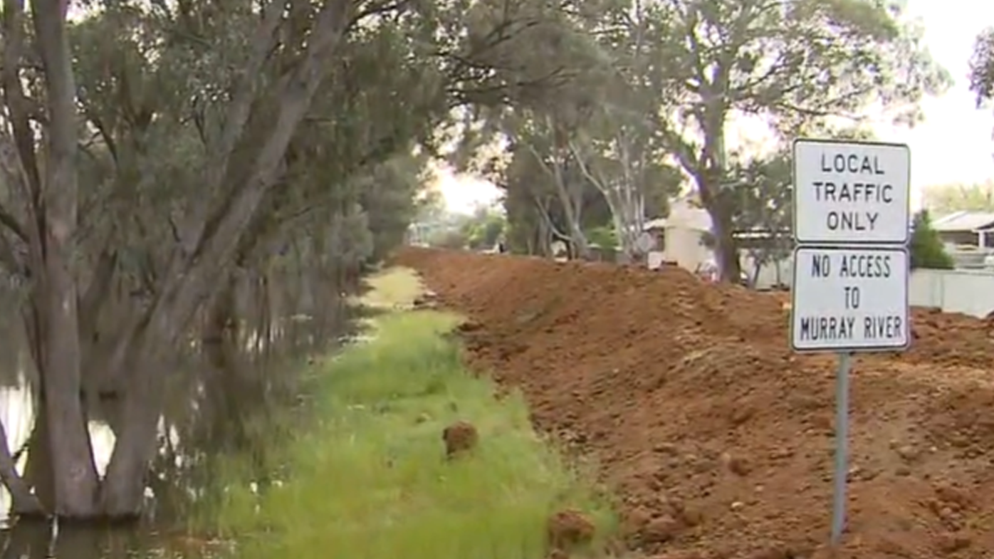
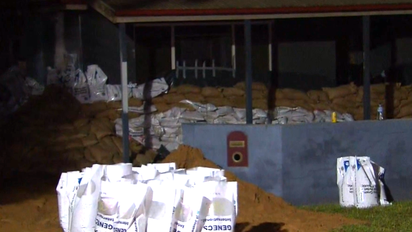
The hopes of locals and contractors are resting on a hastily constructed 2.5 kilometre clay levee, designed to keep water out of the majority of the town.
"There are hundreds of homes on the wrong side and they are being sacrificed for the town," Today reporter Izabella Staskowski said.
"People who have been living on the wrong side are helping to build the levee.
"This would be hard, they say it has to be done to try and save the town…essentially this levee it is going to push water back into those houses."
The regional centre of Shepparton is still in major flood, with fears it could be so for more than a week.
The Goulburn river peaked at 12.06m. Currently it's still at 11.53m and is expected to rise again over the weekend.
The Australian Defence Force has now doubled its assistance in Victoria, with 200 troops on the ground.
Meanwhile, in NSW an emergency area has been declared on part of Murray River, downstream of Tocumwal Road Bridge to Barham Bridge.
Under section 22 of the State Emergency Services Act 1989 (NSW) (SES Act) people are being directed to leave the emergency area, and not to enter it.
The SES is also urging Moama residents to prepare for major flooding, not seen for 30 years.
"The Bureau of Meteorology has forecast flood levels may exceed the 1993 flood at Moama from later this week, after flows from the Murray River and Victorian rivers reach the community," it said in a statement.
Across NSW there are more than 70 flood warnings. Of these, eight are at an emergency level.
Source: 9News

