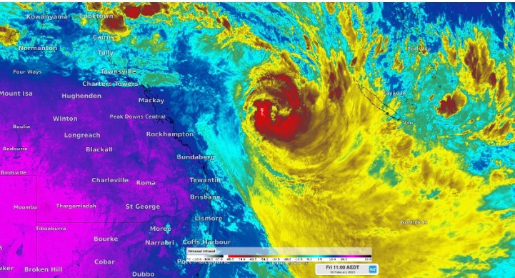
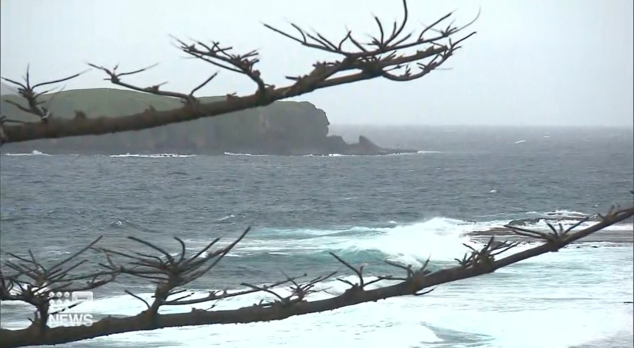
Queensland's Norfolk Island is bunkering down as Tropical Cyclone Gabrielle hurtles towards the region as a Category 3 storm.
The island, a two hour flight from Brisbane, is escalating its Cyclone Response Plan to an orange alert, meaning residents should brace for impact within the next 12-24 hours.
Gale force winds will pick up in that time, reaching between 120-140 kilometres an hour.
READ MORE: US reveals what was inside Chinese balloon
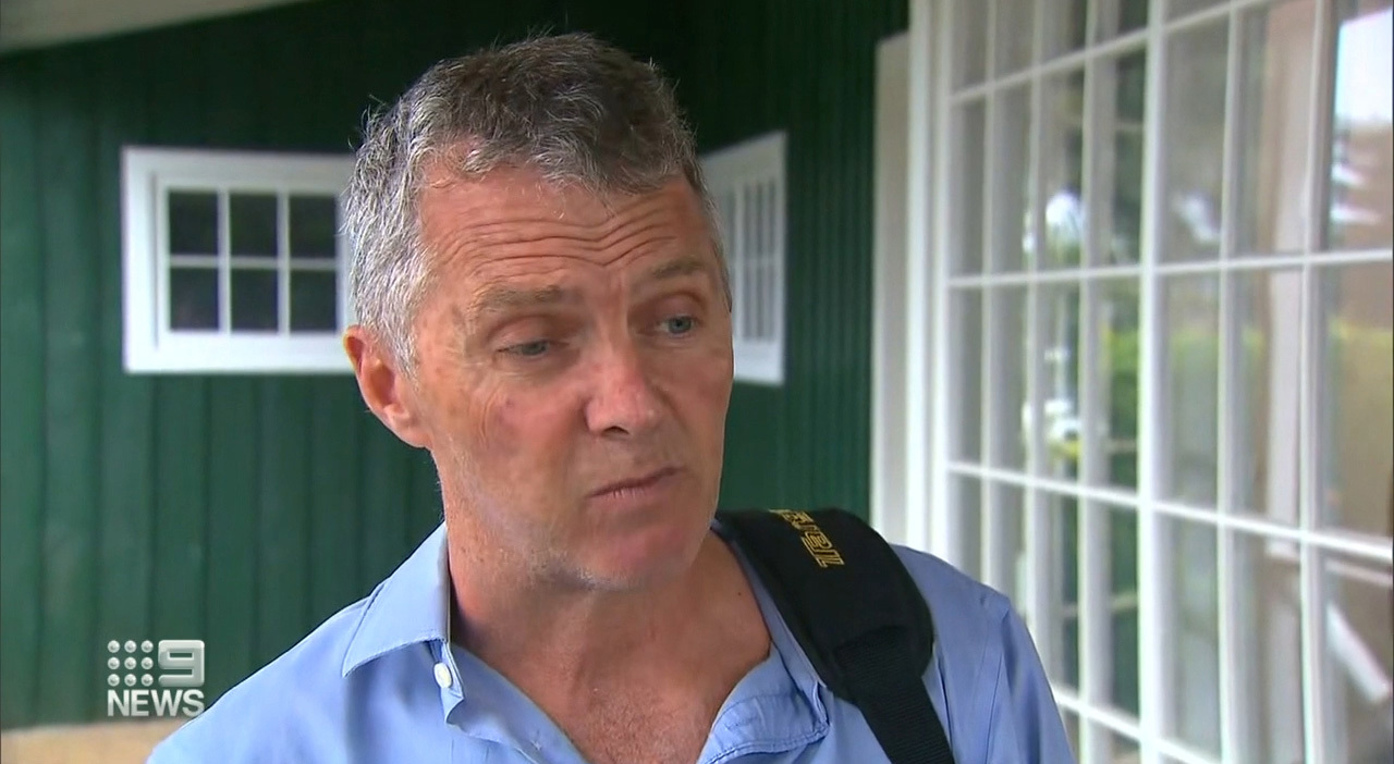
George Plant from the island's Emergency Management warned of the severity of the approaching weather.
"This is probably the most severe weather system that we've experienced," he said.
"It's right on the edge of what we think is manageable, likely because most of them don't come this close."
Minor damage to houses is expected, trees will likely fall and some power outages are likely.
READ MORE: Police divers end search for missing UK woman in river
"As you can see, a lot of the building are older, built before cyclone ratings, so our expectations are some of those buildings will fail ," he said.
The Category 3 storm is predicted to make landfall on Saturday, with a direct hit to Norfolk Island expected in the late evening.
An evacuation centre in the Town Hall will open tomorrow morning.
Category three is the first of three severe tropical cyclone categories, on a five-level scale, reserved for weather systems with top wind speeds over 117km/h.
READ MORE: Aussie rescuers on the way as quake death toll tops 20,000
Abnormally high tides and heavy rain are also forecast.
There is still uncertainty about the direction of the cyclone, the forecast suggesting it could transition into a strong extra-tropical cyclone, bringing severe weather to New Zealand's North Island from Sunday.
https://twitter.com/BOM_Qld/status/1623952293363355648?ref_src=twsrc%5Etfw
A hazardous surf warning is in place for Fraser Island Coast, Sunshine Coast Waters and Gold Coast Waters in Queensland, and the Byron Coast, Coffs Coast and Macquarie Coast in NSW.
The warnings in Queensland comes after a sudden storm hit the New South Wales coast yesterday, cutting off roads and leaving drivers stranded.
READ MORE: Qantas plane met by fire crews as storms delay flights
The South Coast was hit first, followed by Illawarra and then Sydney as the system made its way north.
The SES responded to more than 1600 calls for help and carried out 65 flood rescues, as drivers continue to use flooded roads.
Sign up here to receive our daily newsletters and breaking news alerts, sent straight to your inbox.
Source: 9News


