Tropical Cyclone Ilsa is expected to rapidly intensify to be a category 4 storm by the time it hits Western Australia.
The tropical low was tracking closer to land overnight and is expected to hit between Broome and Port Hedland in the next 24 to 48 hours.
Overnight it was about 400km north-west of Broome as a category 1 storm.
READ MORE: Australian mum forced to fly 17,500km to treat common infection
https://twitter.com/weatherzone/status/1645700812881133568
"Tropical Cyclone Ilsa has officially been declared, and is expected to intensify rapidly in coming hours and days," Weatherzone meteorologists said.
It is expected to be a category 3 storm by Wednesday afternoon and a category 4 by Thursday and cross the coast almost directly over Eighty Mile Beach, becoming the biggest cyclone to hit the state in a decade.
People in the path of the cyclone have spent days preparing for destructive winds and heavy rain.
James Stanley, 67, said he felt calm and ready in Port Hedland, where the storm is expected to hit by Thursday night.
"We've been up here for 20 years, like most people, you're pretty prepared for it," Stanley said.
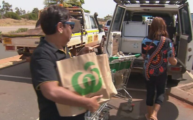
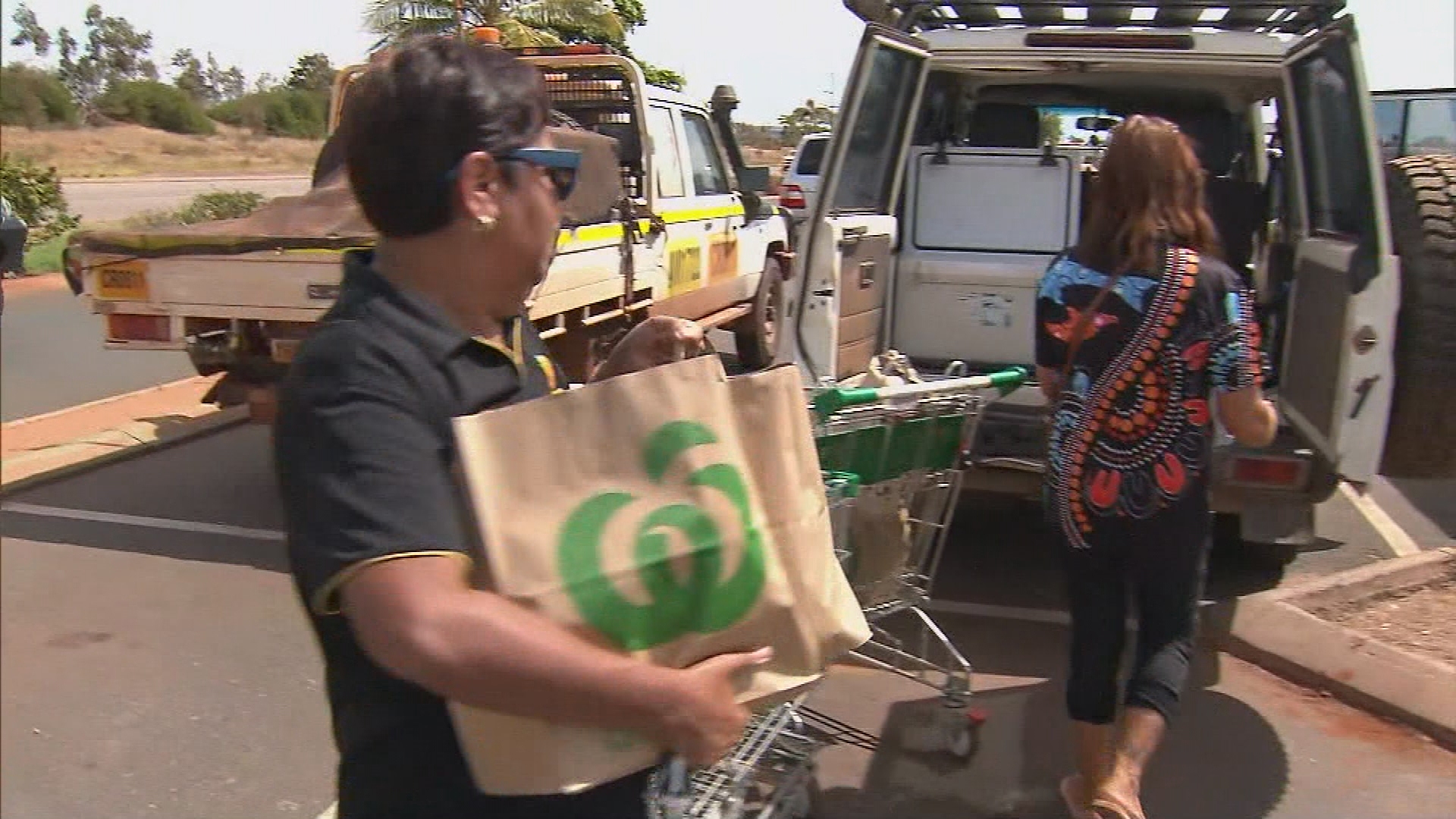
Susan Kickett drove to the supermarket from Marble Bar to stock up in case roads are cut off.
"Probably a week or a fortnight but it all depends, if it's open in a couple of days we'll come back over to get some more supplies," Kickett said.
Ilsa is expected to bring winds of more than 200km/h, similar to what Port Hedland experienced a decade ago with Cyclone Christine.
Todd Smith from the Bureau of Meteorology said the system will be destructive.
"They're going to cause a lot of damage to trees, vegetation, any buildings that aren't up to code, caravans, cars, they're going to get blown around," Smith said.
Evacuations to begin at tourist hot spot
If Ilsa continues on its predicted path, holiday spot Eighty Mile Beach will be her target.
The local caravan park is expected to be evacuated today.
Farmer David Stoate's station is right in the thick of cyclone alley.
"It's not really the news you want to hear, that a category 4 cyclone is coming straight at you, but you've got to deal with it the best you can," Stoate said.
In Port Hedland, waters are being cleared of vessels as the port town utilises the calm conditions to brace for what's to come.
Emergency services are warning it is not just a coastal event with inland areas expecting a big deluge.
Telfer could see falls to 200mm on Friday and winds exceeding 100km/h.
The system is expected to stay well clear of Exmouth in the lead up to the solar eclipse.
'Keep up to date'
Fire and Emergency Services Commissioner Darren Klemm said all communities in the region needed to be enacting their emergency plans.
"Clean up around home, have your emergency kit, and keep up to date with warnings," he said.
"Make sure you're prepared, there is no excuse for not being prepared."
https://twitter.com/weatherzone/status/1645651957330354178?ref_src=twsrc%5Etfw
Klemm said it had been 10 years since a cyclone greater than category 3 hit the north of Western Australia.
"There are many people who have not experienced a category 4," he said.
Any holidaymakers or people travelling in caravans between Port Hedland and Broome were told at the start of the week to leave immediately and head south.
"If you're in a caravan in that area, now is the time to be changing your travel plans," Klemm said.
The highways in the area are expected to be closed for more than 48 hours as the cyclone tracks inland.
Emergency services are working with remote Indigenous communities to ensure all the resources are available before the cyclone makes landfall.
Residents are urged to keep up with weather warnings on the bureau's website.
It will be the third cyclone to hit Australia this year after Cyclone Ellie caused chaos in the Kimberley region with intense flooding and destruction and Cyclone Gabrielle swept across Queensland's north.
Sign up here to receive our daily newsletters and breaking news alerts, sent straight to your inbox.


