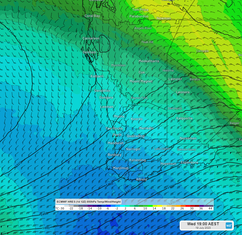
A cold front will roll across Australia from east to west in the coming week, bringing another wave of winter temperatures.
Weatherzone reported that southern Western Australia would be among the most-affected regions from Monday.
A second cold front is forecast to hit the region from Tuesday, bringing heavy winds and rain, and spreading up the western coast by Wednesday afternoon.
READ MORE: Ute flips on its roof after smashing into home in Brisbane
That front will be followed by a chilly airmass keeping temperatures in the teens and even single digits.
It is set to roll across Australia to hit the east coast later in the week.
Weatherzone said the chill temperatures could bring more snow to the alpine regions, which is good news for skiers.
Currently, many slopes enjoy respectable snow coverage, but the surface is hard rather than powdery.
READ MORE: Key elements that helped Aussie sailor and dog survive at sea
Fresh falls could soften things.
Between 15-30cm has been forecast at this point for resorts by next weekend, as the east coast braces for the wintry snap.
Temperatures in Sydney will remain fairly consistent next week despite the approach of the cold front, ranging between roughly seven to eight degrees, up to 19 to 21 degrees.
READ MORE: Man charged with murder after four-hour siege in Adelaide
Mid-week will be chillier, with a top of 17 forecast for Wednesday, while showers early in the week will clear up.
Things will be chillier in Melbourne, with temperatures unlikely to break out of the mid-teens, and intermittent rain and clouds.
Brisbane is also set to see rain early next week, but things will be warmer, rising to tops of 24 degrees by next weekend.
Sign up here to receive our daily newsletters and breaking news alerts, sent straight to your inbox.


