While Townsville escaped major destruction when Cyclone Kirrily crossed the coast as a category 2 storm overnight into Friday, the threat isn't over for North Queensland.
The storm has weakened to a tropical low but continues to produce heavy to intense rainfall with possible damaging winds forecast for parts of the northern interior and western Queensland across the weekend.
The Bureau of Meteorology (BoM) warns there could be "dangerous and life-threatening flash flooding possible from early Saturday morning for areas between Winton, Richmond and Cloncurry".
READ MORE: Federal opposition vows to target PM on trust
The deluge could produce isolated six-hourly totals between 120mm to 150mm, with 24-hourly totals of 180mm possible.
The weather system was located on Friday night between Hughenden and Winton, tacking south-westerly.
It's set to take a more westerly track towards the Northern Territory border during Saturday, the bureau forecasts.
https://twitter.com/BOM_au/status/1750751651315798514?ref_src=twsrc%5Etfw
Currently, heavy rainfall is occurring about the south-western parts of the Northern Goldfields and Upper Flinders, south-eastern Gulf Country and north-western Central West districts, which the BoM warns could lead to flash flooding.
"Heavy rainfall is forecast to extend further inland towards the eastern North West district overnight, persisting through Saturday," the bureau said.
"Six-hourly rainfall totals between 70mm to 110mm are likely, with 24-hourly totals up to 130mm."
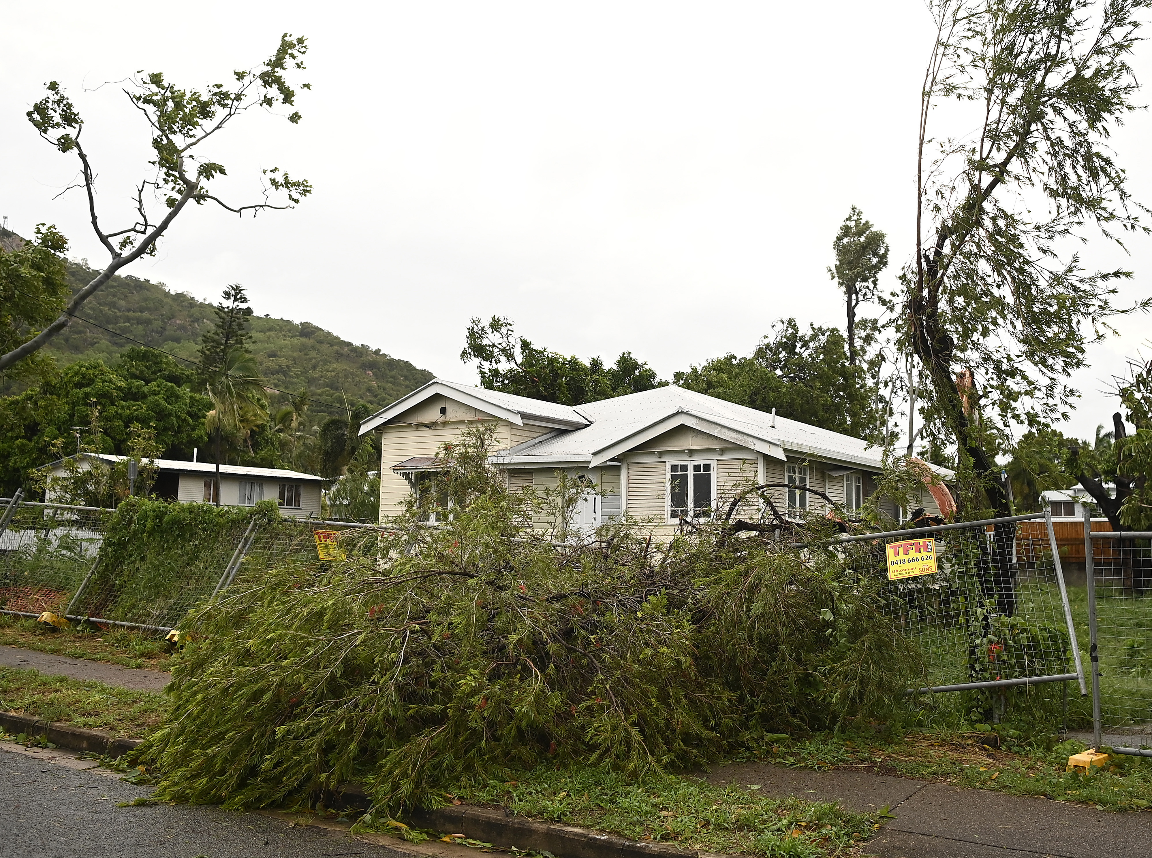
Residents in Townsville have begun the clean-up with the storm still packing a punch despite dropping from a category 3 to a category 2 just before making landfall.
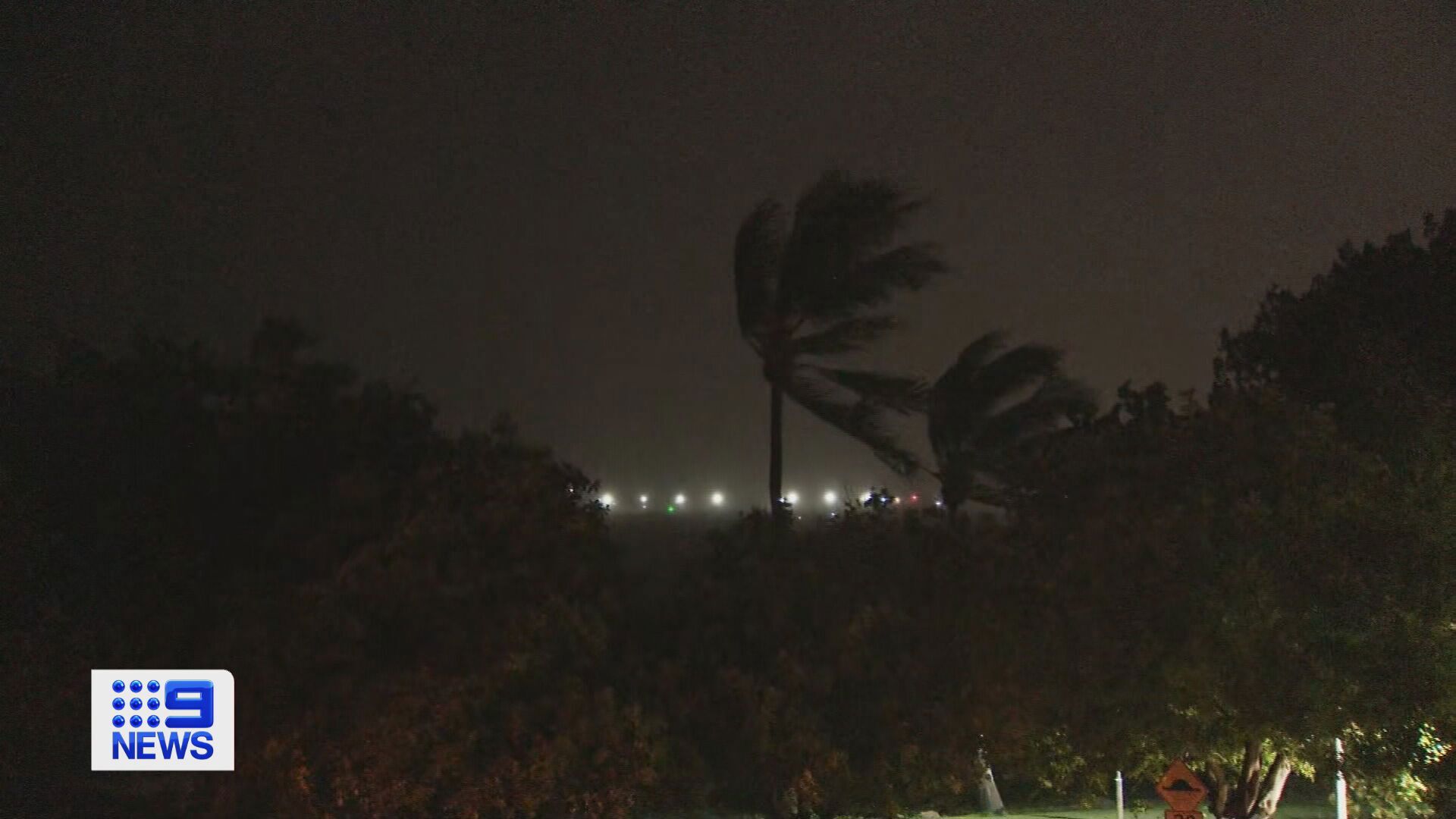
The damaging winds – with gusts of over 100km/h – were strong enough to bring down trees and power lines, plunging 64,000 homes and businesses into darkness.
Despite the damage, authorities were relived there were no deaths or missing persons reported in connection to the storm.


