NSW Premier Chris Minns has warned while there were blue skies across the state, flood waters were still on the rise.
"The emergency rain situation seems to be easing", he said, adding it was "important to note that flood levels in some of the rivers particularly in Western Sydney are continuing to rise".
Rivers remaining high around NSW, while in Queensland flood warnings were issued by the Bureau of Meteorology with residents advised to avoid unnecessary travel.
To see the latest BoM weather warnings click here.
READ MORE: Warragamba dam warning sparks flood fears
Minns also paid tribute to 4000 volunteers who were assisting the SES with rescues across the state.
The storm system that brought overnight chaos is moving out of Sydney, and onto the NSW South Coast.
It has left several regions battered by floodwaters, with catchments filled in the 24 hour deluge.
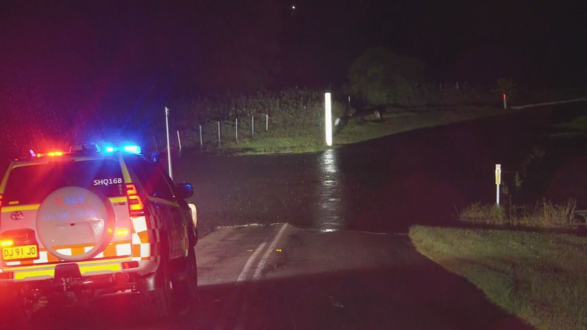
Bridges were closed in western Sydney, with flooding affecting vast swathes of the city's outskirts.
Properties near Sackville North were advised to evacuate.
Penrith and surrounds were warned of flooding, as were Windsor, North Richmond and their surrounds.
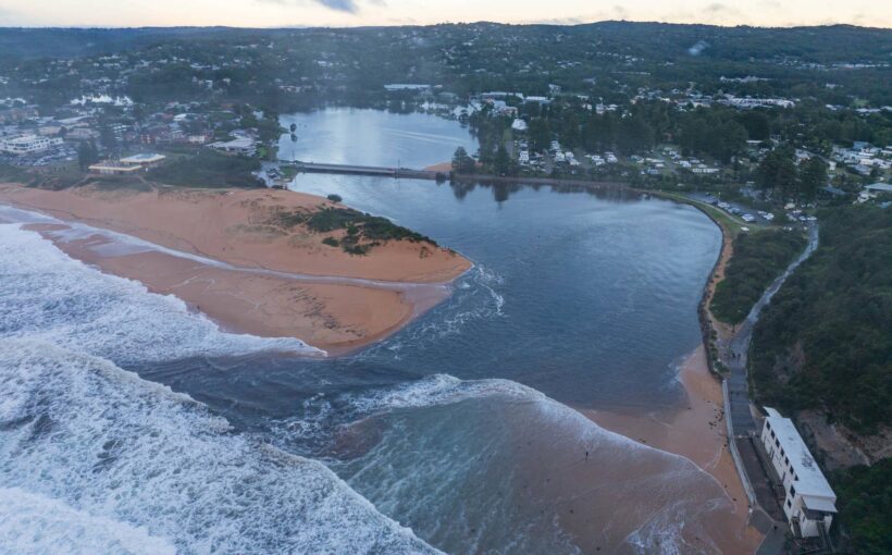
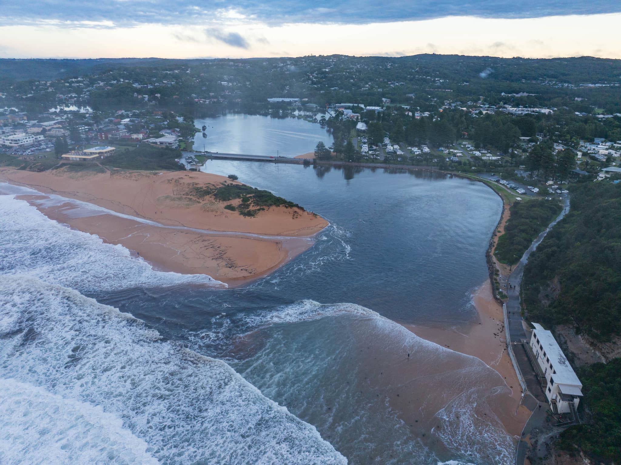
Narrabeen Lagoon in Sydney's Northern Beaches overflowed during the night, spilling water into the surrounding streets.
The NSW SES issued a Watch and Act warning around noon, covering much of the NSW South Coast, in Nowra, Batemans Bay and down to the Victorian border.
Ausgrid crews restored power to at least 37,000 customers overnight, with some 9000 still without power across NSW.
Warnings for Queenslanders
North of the border, Queenslanders are being urged to avoid any unnecessary travel today with possible severe storms and flash flooding forecast for areas south of Brisbane.
The deluge has caused catchments to swell with authorities warning levels are set to rise, sparking possible flood warnings, as the wet weather continues. "If you don't need to be on the roadways during this period, please reconsider your travel with the current weather conditions," said deputy police commissioner Shane Chelepy.
The Bureau of Meteorology has warned that thunderstorms could continue today and tomorrow, affecting much of the Queensland coast.
https://twitter.com/BOM_Qld/status/1776416290401341779?ref_src=twsrc%5Etfw
Warragamba Dam Overflow
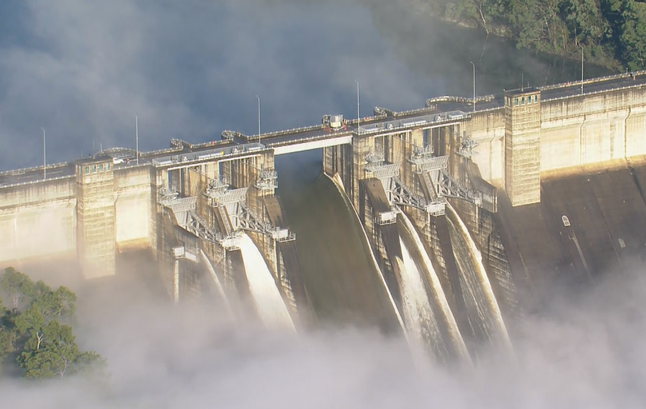
Intense rain has led Warragamba Dam to reach capacity and spill over as a severe weather event sparked evacuation orders and flood warnings across parts of Sydney.
NSW Water said the dam began spilling around 5.45am this morning and will likely spill for the next two weeks.
SES Commissioner Carlene York said at this stage authorities anticipate the dam spill will only impact surrounding low-lying areas.
"We have been out with the community, letting them know what is coming and ensuring they prepare," she told reporters today.
"We don't think those waters are affecting a significant amount of people in those areas but certainly rural farmland, stock and families and businesses…need to be aware of the next couple of days as the water will continue to flow down at a high level in those river systems."
The dam was initially predicted to reach capacity on Monday.
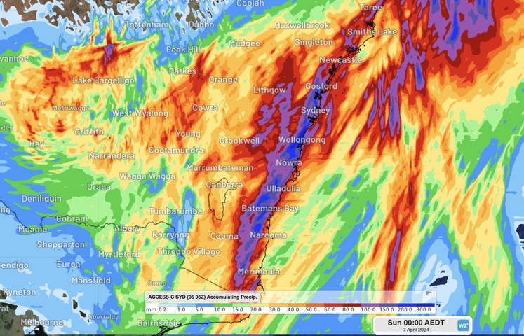
But a deluge overnight brought over 150 and 190mm of rain to Sydney and the Illawarra.
BoM Meteorologist Steven Bernasconi said while conditions are set to ease by Monday rising river levels remained a threat.
He said within the coming days major flood warnings were expected at Hawkesbury River at North Richmond and Windsor and Colo River at Upper Colo.
"This situation is easing, it is moving south out to the Tasman sea, the current focus is on the south coast and the southern tablelands, as the rain is still impacting them at the moment," he said.
"Sunday and Monday we will see a much more easing and settled trend."
Overnight Greater Sydney was pounded by intense rain, with Penrith recording up to 167mm, and Terrey Hills and Canterbury copping more than 150mm since 9am yesterday.
In the Illawarra, Albion Park was smashed by 190mm while Bellambi, just north of Wollongong recorded up to 194mm.
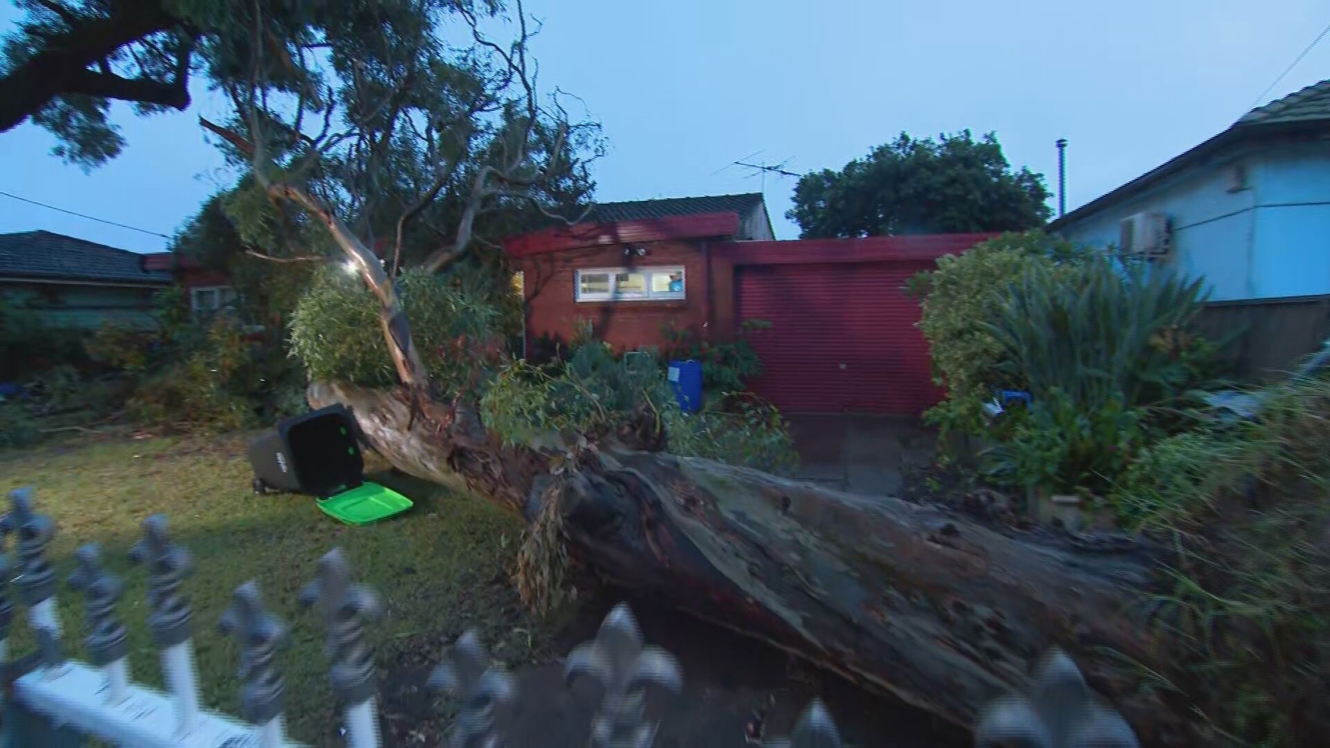
The State Emergency Services received more than 2000 calls for help with torrential rain causing fallen trees and sparking road closures.
There were 152 flood rescues performed across the state, including 72 in the metropolitan areas.
https://twitter.com/BOM_NSW/status/1776316447217610888
The deluge has sent inflows to the Hawkesbury River, prompting the State Emergency Services to issue an evacuation order for several low-lying communities.
Residents in Lower Portland and Pitt Town Bottoms have been told to evacuate by 8am as the Hawkesbury River is set to reach the minor flood level of 4.6 metres this morning.
Communities in Penrith and north Richmond are preparing to evacuate are also preparing to evacuate more intense rain is expected to fall throughout the day.
READ MORE: Cop who Tasered grandma pleads not guilty to manslaughter
"The Bureau of Meteorology advises The Nepean River at Penrith is likely to exceed the minor flood level (3.90 m) early Saturday morning," the SES said.
"The river level may reach around 6.70 metres Saturday morning, with minor flooding."
Energy provider Ausgrid is working to restore power to 17,000 homes.
Forty thousand homes were left without power due to rain and flash flooding, but electricity has been restored to more than half of them.
The hardest hit areas overnight were northern Sydney and the Central Coast but there have been outages widely across the network.
Flooding has sparked road closures are in place across Sydney and the Illawarra with major highways shut down.
Affected roads include Wakehurst Parkway, the Princes Highway at Engadine, Wisemans Ferry Road at Cattai, Bexley Road at North Bexley as well as the Illawarra Highway at Albion Park at Macquarie Pass.
The Newell Highway, in northern NSW, remains closed in both directions between Moree and Boggabilla.
Some bus services have been terminated due to localised flooding with local diversions in place.
Buses have replaced ferries between Parramatta and Rydalmere due to the weir overflowing.
