In 1848, the British government decided to draw up a precisely measured map of London. Imperial expansion had seen the city develop quickly, particularly around the docks and the City of London.
There was a growing need for improved infrastucture, particularly an underground sewer system, which would be overseen by the Metropolitan Board of Works.
Previous cartographic attempts had largely involved piecing together existing maps of the region. Military professionals now undertook a thorough survey of the city’s topography and rivers, covering a radius of 12 miles from St Paul’s Cathedral.
This was a time of great urban expansion. London in the mid-19th century was becoming the global centre of finance and trade. New public buildings were constructed including museums, libraries, art galleries and markets (for money, livestock, coal). As the minister in charge of public works, Austin Layard, put it:
The government has to decide upon the erection of a large number of important public buildings than had ever been raised in any capital at one time.

Politicians began to talk about needing to supplement this new cartographic view of the city with a three-dimensional one. The idea was to detail both individual buildings and major changes to urban districts. In 1869 Layard thus proposed a new 3D model of the city itself that would be open to public viewing.
In my new book, Modelling the Metropolis, I show how architectural models became a crucial communication tool in Victorian London. They enabled politicians and the wider public to visualise, in unprecedented fashion, how their city was changing.
Victorian politics and architecture
The early 19th century saw major changes made to the electoral landscape in Britain. First, following the 1832 Reform Act, voting rights were extended to a greater share of the male population. Electoral boundaries moved to better reflect the urbanisation of industrialised Britain.
Three decades later, the 1867 Reform Act enfranchised a million new male voters. This doubled the size of the electorate and propelled the country into the age of mass politics.
These changes created a new political context and an urban public eager for democratic participation. In London, this meant keeping the public up to date on how the city was expanding.
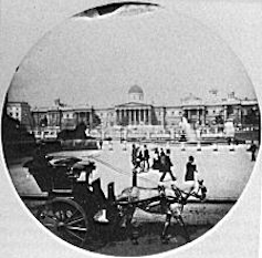
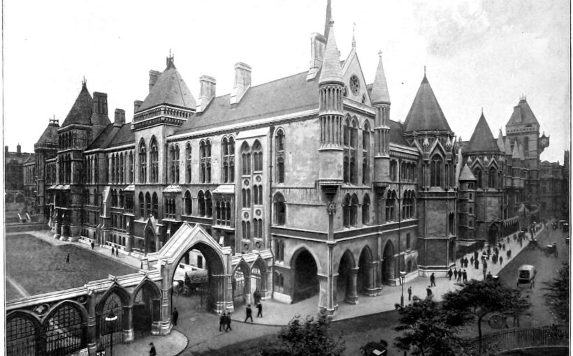
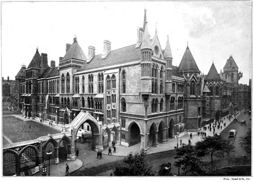
The popular press discussed the various merits of new prominent civic buildings. These included the National Gallery, built between 1832-1838, and George Edmund Street’s designs for the Royal Courts of Justice, which opened in 1882.
Architectural models came to play a central role in this public discourse. Architects and politicians used scale models to present to the public an accurate idea of a proposed building, prior to its construction.
These used models variously to show different options for how a future building might look, to raise funds for its construction or to celebrate the project’s progress. These models enabled audiences to visualise different scenarios and discuss the future appearance of their city.
During a debate about the Royal Courts of Justice, Layard said:
I am strongly of opinion that no great public building ought to be erected without a model upon a large scale, having first been submitted to the public.
A model, he argued, was the best means to openly display the chosen design to the government, opposition members of parliament and the tax-paying public. He felt it necessary that projects “be seen and criticised”.
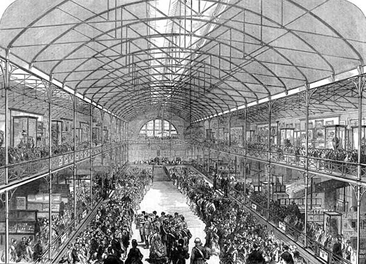
In 1869 a team of modelmakers made a vast model of the Embankment, from Blackfriars Bridge to the Palace of Westminster. It showed two different sites for the Royal Courts of Justice. Each component part could be removed and replaced to show new buildings constructed as the city changed.
Although now lost, we know that the model required consent from the chancellor of the exchequer due to its expense. It cost some £150,000 in today’s money. Londoners were able to view it on display in the library of the Palace of Westminster and at the newly opened Bethnal Green Museum.
Nineteenth-century levelling up
The relationship between democratic politics and architectural models also reveals tensions between the metropolis and the regions in Victorian Britain.
After 1867, the importance of British popular politics grew exponentially. The Third Reform Act in 1882 extended the same voting qualifications as existed in Britain’s cities and towns to the countryside.
Sections of the public and various MPs raised concerns that national finances would be used for the benefit of London alone. Metropolitan improvements were funded directly by the city’s own authorities. There was a growing sense that the capital should also pay for its own public buildings.
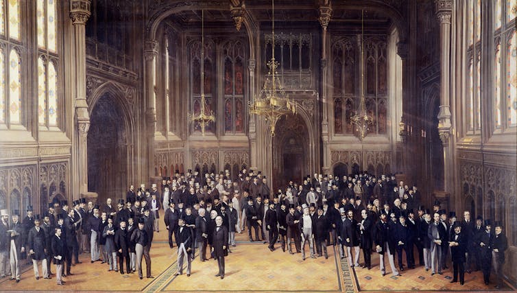
This issue came to the fore in various debates surrounding the construction of the Natural History Museum and various government offices on Whitehall. Select committee inquiries in parliament logged journalistic protests and complaints. The extents and ornament of a building were often reduced as a result, in a bid to lower costs.
By the turn of the 20th century, a group of politicians advocated for changes to legislation. Led by Francis Wemyss-Charteris-Douglas, the 10th Earl of Wemyss, with the support of the Royal Institute of British Architects, they suggested that any proposal for a government-funded building should first require an architectural model to be displayed in public.
Politicians in the House of Lords said models would allow taxpayers to view designs for new buildings and give them the opportunity to voice an opinion. Ultimately, this campaign was unsuccessful. The legislation regulating how public works should be presented to the public did not change.
Across the Victorian period, journalists and critics questioned the reliability of particular scales, viewing positions or model-making materials. This popular use of architectural models shows how effective they can be as a tool of communication, and how they give the public an idea of what buildings will really look like.
![]()
Matthew Wells receives funding from AHRC
