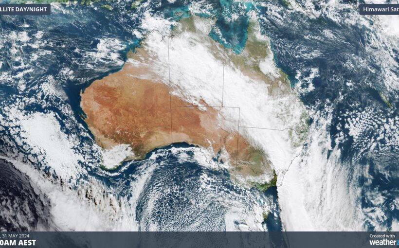
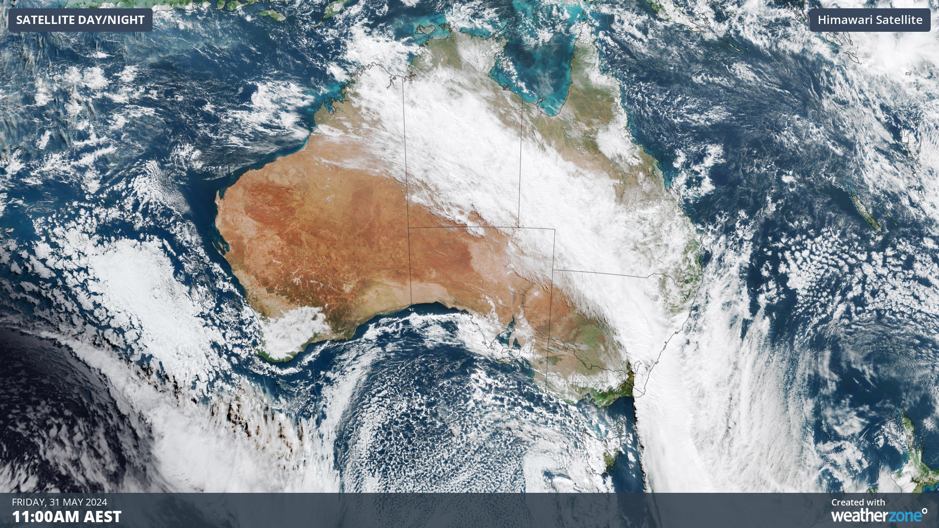
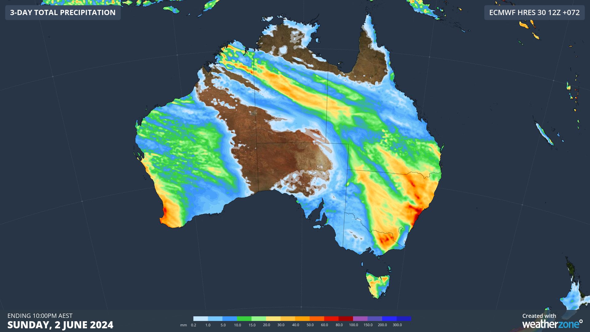
Millions are facing a wet, windy weekend as a cloudband stretching thousands of kilometres moves over eastern Australia.
The cloudband already delivered more than 100mm of rain to parts of south-eastern Australia on Thursday and into Friday morning, Weatherzone said.
"This enormous stream of tropical moisture and two low pressure systems will now cause rain and storms over a broad area of eastern and southeastern Australia from Friday into the weekend."
READ MORE: Fewer Aussies getting the flu shot, amid fears of GP fallout
Wind and rain are forecast to ease in Tasmania today, but wet and blustery conditions will persist in parts of New South Wales and Queensland.
A low pressure system is still forecast to develop off the NSW coast today and deepen on Sunday, Weatherzone said.
However, the earlier indications it would develop into a powerful east coast low are unlikely to bear fruit.
READ MORE: Ticketek confirms 'cyber incident' with customer details 'impacted'
Instead, it's more likely to develop further off the coast as a Tasman low.
"Tasman lows are not as dangerous as east coast lows because their most severe weather occurs out to sea," Weatherzone said.
"However, there is still potential for dangerous weather in NSW on the weekend."
Rain will fall on north-east NSW and southern and central inland Queensland this morning, before spreading to south-east Queensland and central NSW this afternoon and evening.
Weatherzone said southerly winds would also increase along the NSW coast today as the low develops.
Tomorrow, Sydney is in line for showers and windy conditions, along with parts of the state's east.
Stay up to date with weather warnings at the Bureau of Meteorology website.
FOLLOW US ON WHATSAPP HERE: Stay across all the latest in breaking news, celebrity and sport via our WhatsApp channel. No comments, no algorithm and nobody can see your private details.


