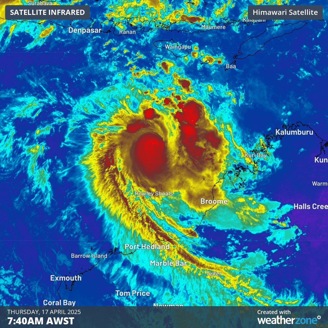

Residents in Western Australia were braced for Cyclone Errol to cross the Kimberley Coast on Friday.
The storm approached as a Category 2 storm but ran out of steam just before crossing the coast at 8pm (10pm AEST) just south of Kuri Bay as a tropical low.
The slow moving system brought sustained winds of 45km/h near the centre with wind gusts of up to 75km/h as it made landfall 85 kilometres south southeast of Kuri Bay and 175 kilometres northeast of Derby.
READ MORE: Drake claims defamation at Grammy's and Kendrick Lamar's halftime show

Ex-Tropical Cyclone Errol is continuing to weaken further after crossing the coast but severe weather warnings remain in place for heavy rainfall for central parts of the Kimberley.
"Moderate to possibly heavy rainfall is expected to continue over the next several hours as the system tracks inland," the Bureau of Meteorology (BoM) said.
The BoM also warned that locally intense rainfall about the north Kimberley coast over the next few hours could lead to "dangerous and life-threatening flash flooding".
They predict six-hourly totals of 100-140mm are possible, and with isolated falls in thunderstorms in excess of 150mm.
Heavy rain for the remaining parts of the northern Kimberley over the next few hours could see six-hourly rainfall totals of 50-80mm, while isolated falls in thunderstorms in excess of 100mm.
Rainfall is expected to ease below warning thresholds by later on Saturday morning.
The areas which may be affected include Wyndham, Kalumburu and Troughton Island.
