

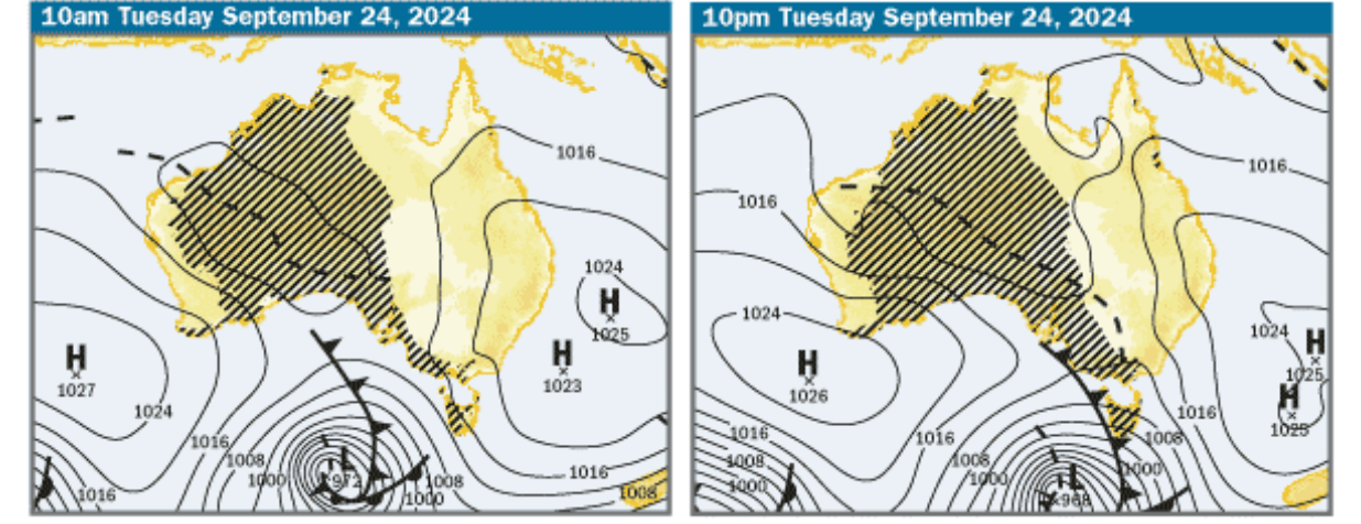
Most of the nation will be soaked over the next seven days as a series of high-pressure systems and cold fronts moves through the country, according to the Bureau of Meteorology.
The wet weather will first soak Western Australia with thunderstorms and showers forecast for several areas today and tomorrow.
Kimberley and Pilbara could see isolated heavy rainfall across their inland areas, while light showers will hit the southern coastal districts.
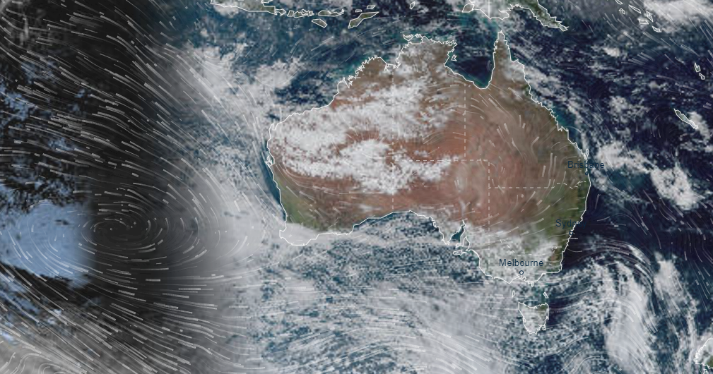

Heavy rain will continue on Sunday, in the Kimberley, Pilbara, Interior, and Gascoyne regions, as well as the northern parts of the Central West and northern Goldfields.
It will also hit the Northern Territory, with some parts that usually receive 20 to 50mm of rain expecting up to 50 to 100mm from Sunday.
The system will spread southeast early next week, before hitting the east coast on Tuesday, bringing rain to NSW and Victoria until Friday.
The weather system will last around a week to ten days.
Unfortunately for some parts of NSW, a series of cold fronts and troughs will bring showers to some parts of the state over the weekend as well.
The south ranges and western slopes can expect scattered showers today, with a chance of rain in the far southern inland regions and in the far northeast of the state.
The same areas can expect more rain on Sunday, with a chance of snow expected in the Alpine peaks about 1500 metres.
The rest of the state however, will see some sunshine before the wet weather hits.
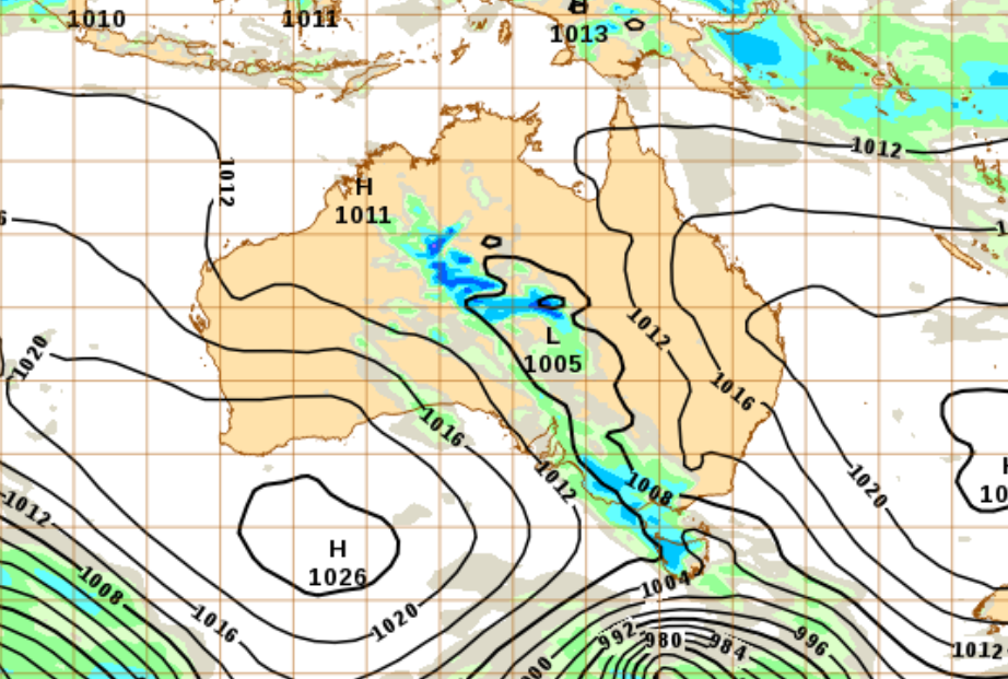
In Victoria, the high-pressure system will move in from the west and into the northern districts of the state over the next few days.
It will slowly inch closer east to cover most of the State by Monday.
The system will also impact parts of South Australia as it moves across the northern part of the state, causing windy conditions in the southern parts of the state and isolated thunderstorms in the northern parts of the North West Pastoral district.
It will continue moving south on Sunday, bringing a chance of showers in the far northwest on Sunday, gradually moving over the state bringing rain until Friday.
The high-pressure system shouldn’t impact Queensland but a trough will bring isolated showers in the east of the state, including the Cape York Peninsula over the weekend.
It will bring thunderstorms and showers.
It could bring thunderstorms to the area later today.
