

Rain has begun falling in California where an atmospheric river is expected to bring heavy downpours, winds and flooding on Thursday to areas ravaged by wildfires.
Ahead of the storm’s arrival, officials distributed sandbags, prepositioned rescue swimmers and told residents to have their go-bags ready.
Meanwhile, Portland coated its streets with 2000 gallons of liquid anti-icer while officials in Oregon and Idaho opened emergency shelters to prepare for a punishing mix of snow and ice starting on Thursday.

Southern California could see as much as 15 centimeters of rain in the mountains and about 7.6cm in coastal areas and valleys, according to Brent Bower, a hydrologist with the National Weather Service. Strong wind gusts could bring down trees, cause power outages and delay flights.
Evacuation warnings were issued in Mandeville Canyon and other areas ravaged by the Palisades Fire, the most destructive fire in Los Angeles city history, over concerns about potential debris flows during the upcoming storm.
There were also warnings for Trabuco Canyon and other areas near the burn scar for the Airport Fire.
All Malibu schools were closed on Thursday and the Knott’s Berry Farm amusement park shuttered due to the atmospheric river, a long band of water vapor that can transport moisture from the tropics to more northern areas.
Daniel Swain, a climate scientist for the University of California Agriculture and Natural Resources, said the area is in desperate need of rain — but this may come too hard and fast. The result could be debris flows and flash flooding around wildfire burn areas.
These burned areas are more at risk to debris flows because vegetation that helps to keep soil anchored has been burned away and loose debris, including ash, soil and rocks, have been added, he said in a statement.
County officials said roads may be closed and urged residents to be prepared should a mandatory evacuation order become necessary.
East hit with heavy snow and freezing rain
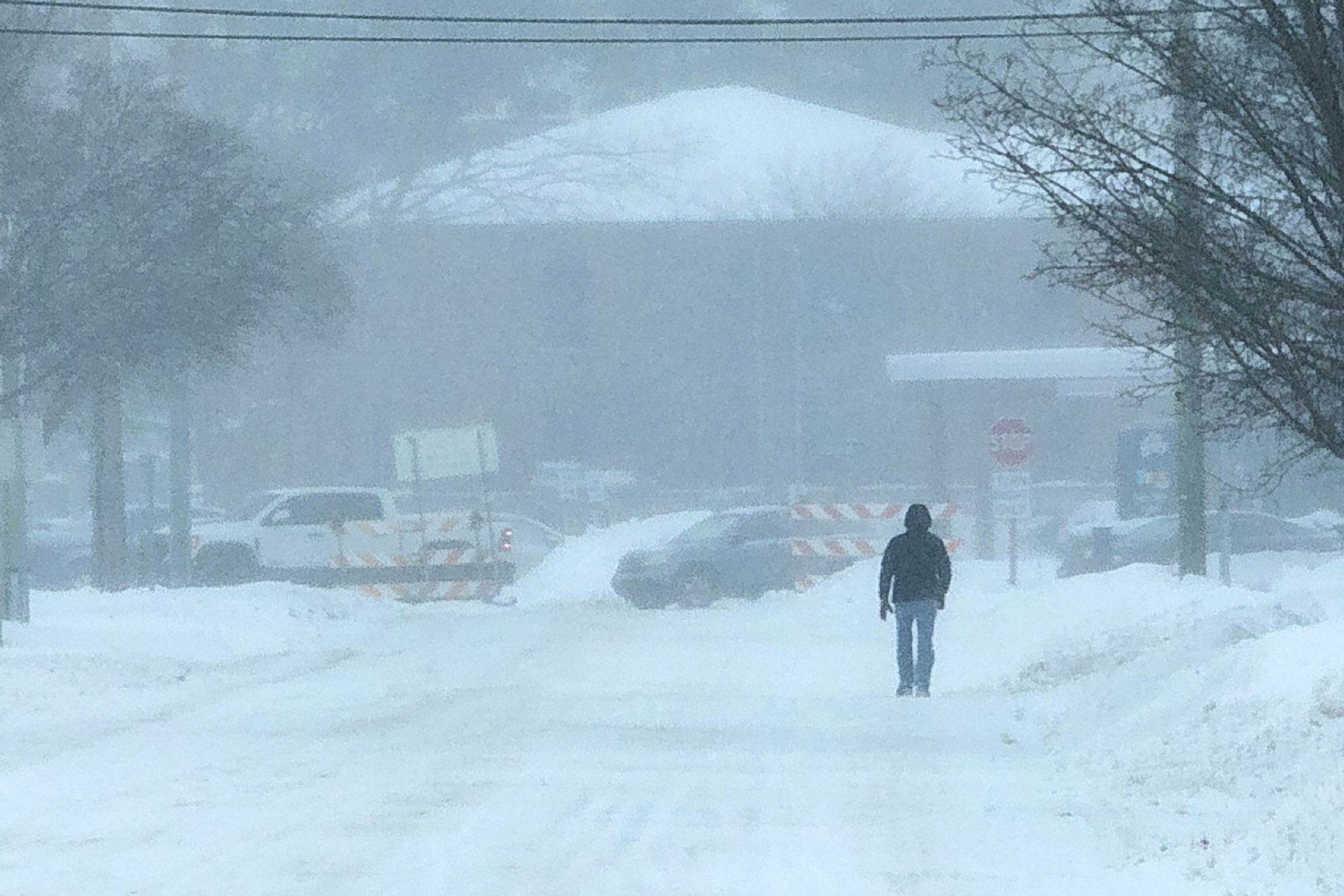
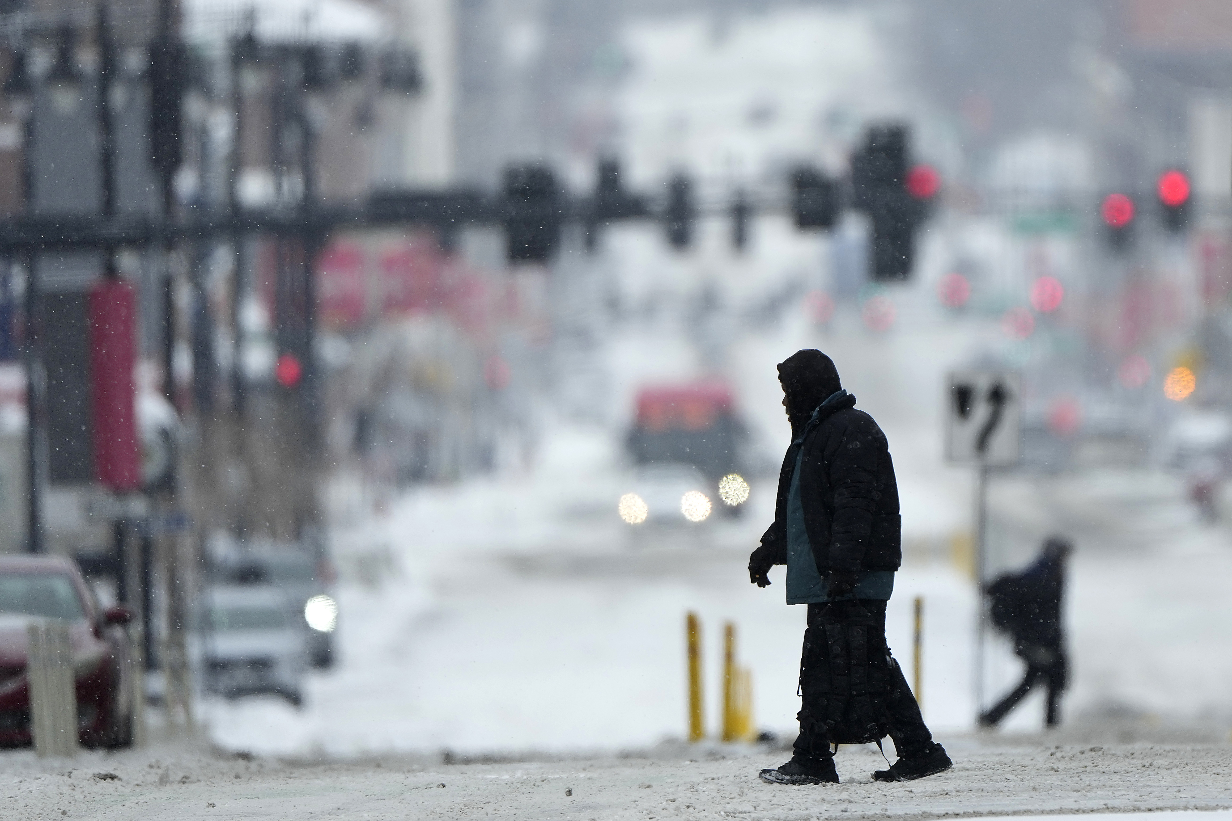
The rain follows storms Wednesday that dumped heavy snow and freezing rain on a swath of the US East from Kentucky to the nation’s capital, causing hundreds of traffic accidents, knocking out power in places and threatening to flood waterways.
The storm system, which cut a path from Kentucky to Maryland and points farther north on Tuesday, brought more than 37cm of snow to Iron Gate, a tiny Appalachian town in western Virginia, and 30.5cm to White Sulphur Springs, West Virginia, a small city about 105 kilometers to the west, the National Weather Service said.


By early Thursday, more than 150,000 customers in Virginia and more than 13,000 in North Carolina were still without electricity, according to PowerOutage.us.
Appalachian Power, which serves a million customers in West Virginia, Virginia and Tennessee, said more than 5700 workers were trying to restore power.
The region’s airports received several inches of snow, according to Scott Kleebauer, a meteorologist with the weather service’s Weather Prediction Centre
Nearly 7000 flights were cancelled or delayed across the United States on Wednesday, including almost 300 into Ronald Reagan National Airport near Washington, according to the flight-tracking site FlightAware.com.
Hundreds of accidents
In Kentucky, snowy roads caused a head-on fatal crash on Tuesday in Nelson County, south of Louisville. The driver of a car lost control going into a curve, crossed the center line and hit an oncoming semi truck head on, according to the county’s emergency management director, Brad Metcalf. The driver died at the scene.
In Virginia, where Gov. Glenn Youngkin declared a state of emergency, the state police reported about 850 crashes on Tuesday and Wednesday, dozens of which involved injuries. Officials said it was not known if they were caused by the weather.
Maryland State Police reported 235 crashes and 185 inoperable or unattended vehicles.
In southern West Virginia, multiple crashes temporarily shut down several major highways Tuesday.
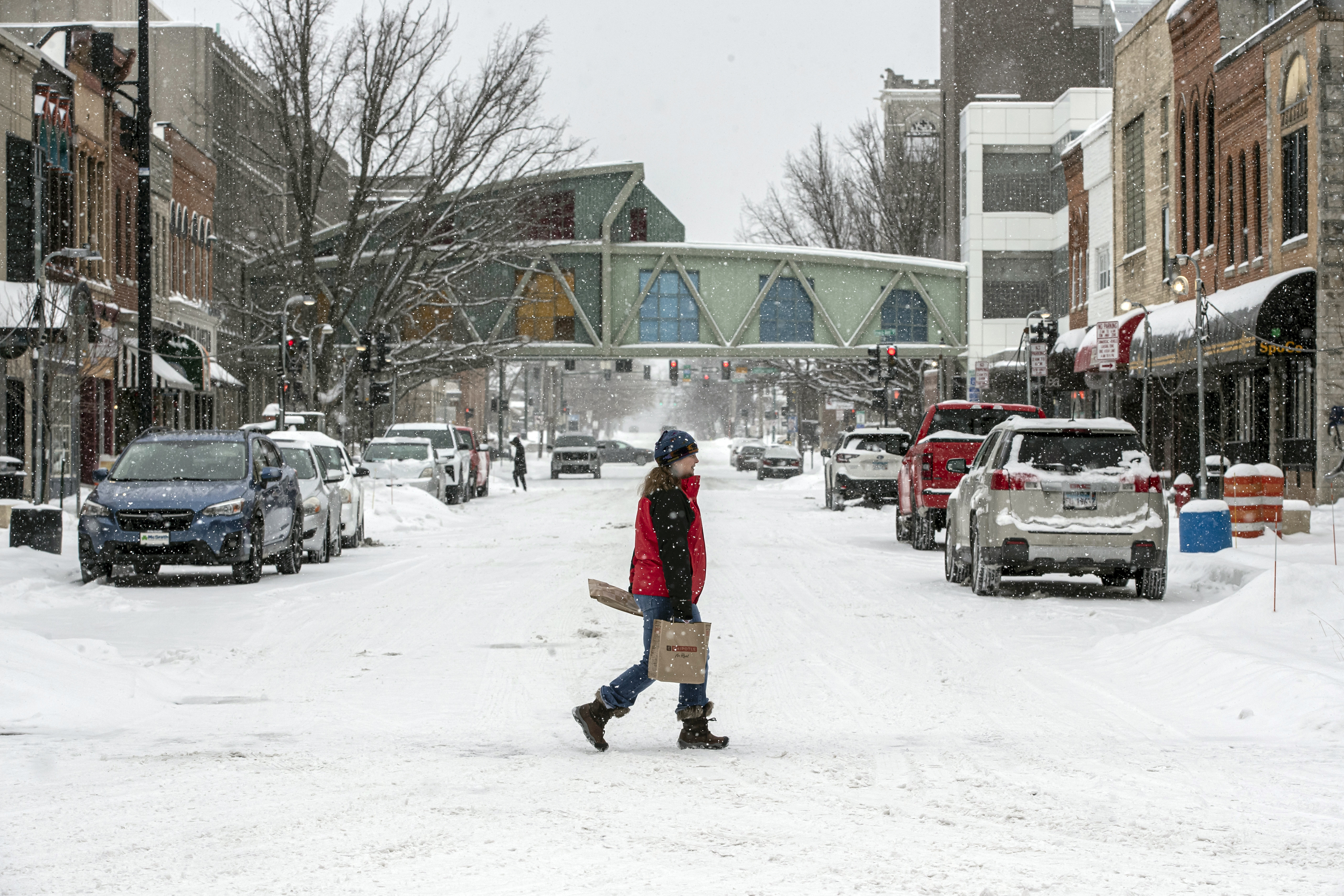
Pacific Northwest ice storm
Freezing rain and snow were expected in northwest Oregon and Southwest Washington, which could cause power outages, according to the National Weather Service.
Officials in Oregon’s Multnomah County extended a state of emergency through at least Thursday and said six emergency shelters would be open. Officials said 356 people went to the shelters on Tuesday night.
Wind chill readings could dip to minus 12 degrees Celsius in Portland, the weather service said.
In Idaho, a cold weather advisory was in effect, with wind chills potentially as low as minus 25 degrees Celsius in the north central part of the state.
An ice storm forecast for the Portland area early on Thursday and Friday could challenge deliveries of flowers and other gifts for Valentine’s Day. Temperatures plummeted earlier this week in Portland, which is more known for its rainfall.
Julia Duncan, a co-owner of Flowers in Flight, shrugged off the weather, saying the area endured ice storms in past winters and customers are willing to go the extra mile for the people they love.
“It’s Valentine’s Day!” Duncan said. “We’ll just have to wait and see what happens.”
“We’re in the neighbourhood where a lot of people tend to do pickups, too, and (we’ve) got a couple of drivers who are willing to drive in the ice and snow,” Duncan said.
“So hopefully it won’t affect us too much.”
