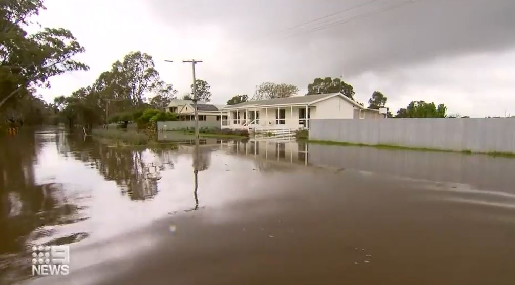
Residents in the flood-stricken Victorian town of Echuca are being warned waters will peak near 94.9 metres tonight and into tomorrow, nearing a mark not seen for more than 100 years.
In a flood emergency update, the Bureau of Meteorology said river levels at Echuca Wharf have exceeded the October 1993 flood level of 94.7m, and may peak near 94.90m tonight into tomorrow, with major flooding expected.
The flood levels are fast approaching the 1916 flood level of 95.28m.
READ MORE: Warning of 'very dangerous' 48 hours ahead for flood-hit NSW
The worst floods recorded in Echuca were back in 1870 when levels reached 96.2m but the current levies didn't exist then, so what that holds for the area remains unclear.
The bureau has warned as this flood peak extends downstream, it is likely to exacerbate the current major flooding at Torrumbarry and Barham, and cause additional river level rises along the Murray River downstream of Barham.
Further rainfall is forecast for the reminder of today into early next week, which may cause renewed river level rises and flooding.
https://twitter.com/BOM_Vic/status/1584042940091240448?ref_src=twsrc%5Etfw
The update said there is minor flooding ialong the Murray River at Albury and Tocumwal. Moderate flooding is occurring at Corowa.
And there is the possibility of major flooding along the Murray River at Swan Hill. Minor flooding is occurring at Wakool Junction, Boundary Bend and Wentworth, and possibly at Mildura., the bureau said.
'Dynamic and changing' conditions
Victoria's ongoing flood emergency is a "dynamic and changing" situation, Emergency Management Commissioner Andrew Crisp has warned.
"Things are constantly moving across the state. We have significant rainfall over the past couple nights," he said on Sunday morning.
"It is the reality of what we are dealing with, we will see more rainfall," he said.
READ MORE: Queensland on alert for 'life-threatening' floods as heavy rainfall hits
Weather event to last weeks
Victorians are about six weeks from the end of the current flood emergency, SES chief operations officer Tim Wiebusch has warned.
Wiebusch said that the climatic conditions will last for the next couple of months.
He said north-west towns will feel the effects of flooding at Swan Hill and Mildura in late October and November.
"We're a good four to six weeks from the tail of this existing flooding occurring along the Murray River and that's without any further rainfall," Wiebusch said.
"We still have La Nina, the India dipole, climatic conditions for the next couple of months. We'll see Swan Hill around the end of October, we'll see Mildura reaching flood levels by late to mid-November, plenty of time for those communities to start preparing and thinking about what they might do when those warnings come."
Premier Daniel Andrews said there were now 50 flood-hit people staying at the Mickleham Quarantine Hub.
He said road crews have also fixed more than 42,000 potholes that were damaged by floodwaters and re-opened nearly 500 roads.
"This will be a long journey and we will be with those affected businesses and people who need our support for as long as it takes," Andrews said on Today.
"This event is far from over as waters begin to peak in a number of areas. Then there is that massive task of cleaning up and rebuilding."
"The key thing with a major river system like the Murray River is the complexities of the many river systems that flow into it," Wiebusch said earlier.
The Murray River in Moama is expected to peak on Sunday night into Monday, potentially higher than 95 metres above sea level.
The water flowing through the river is moving faster than in recent days, which suggests the area is starting to receive water from the Goulburn River.
"I've been here since '73 and it is worse than the two floods I've seen," Moama resident Belinda Shaw told 9News.
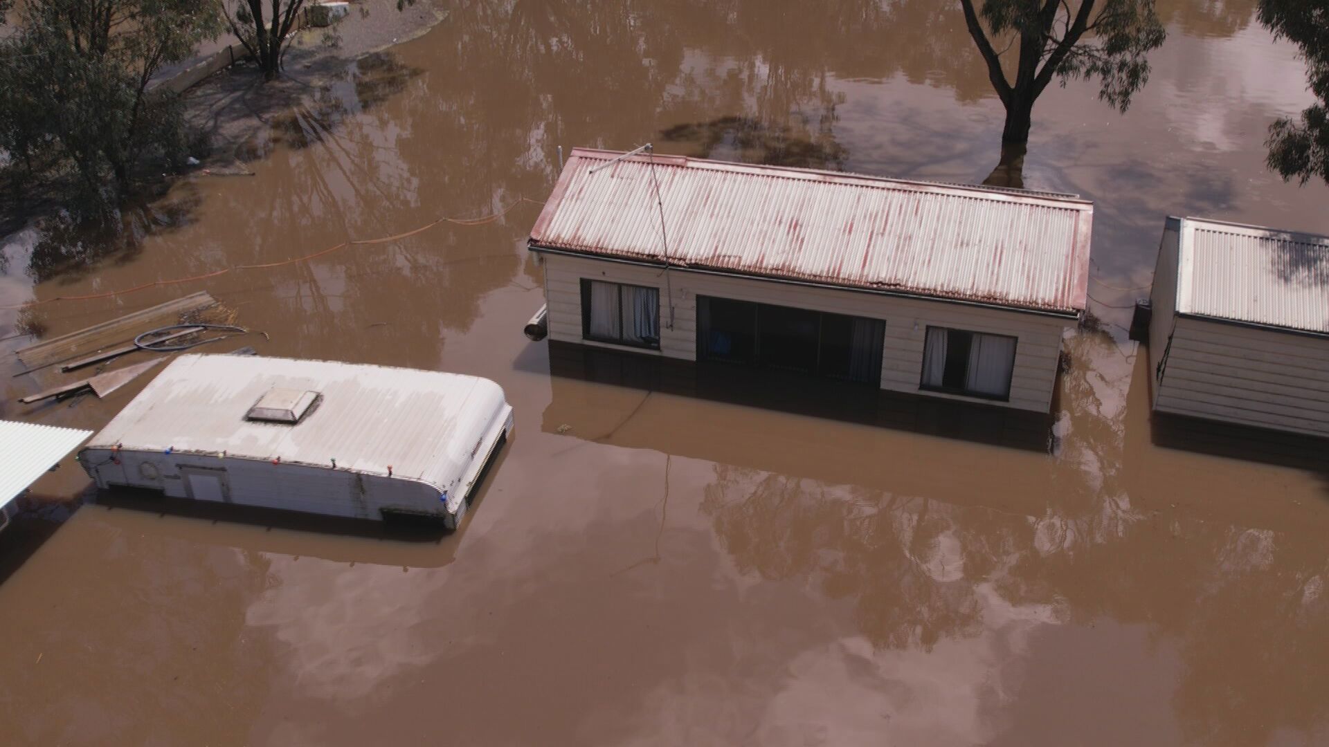
In Moama, cavities are appearing in concrete as roads are left impacted by the volume of water, while cabin owners raced from Melbourne and Geelong to protect their parks.
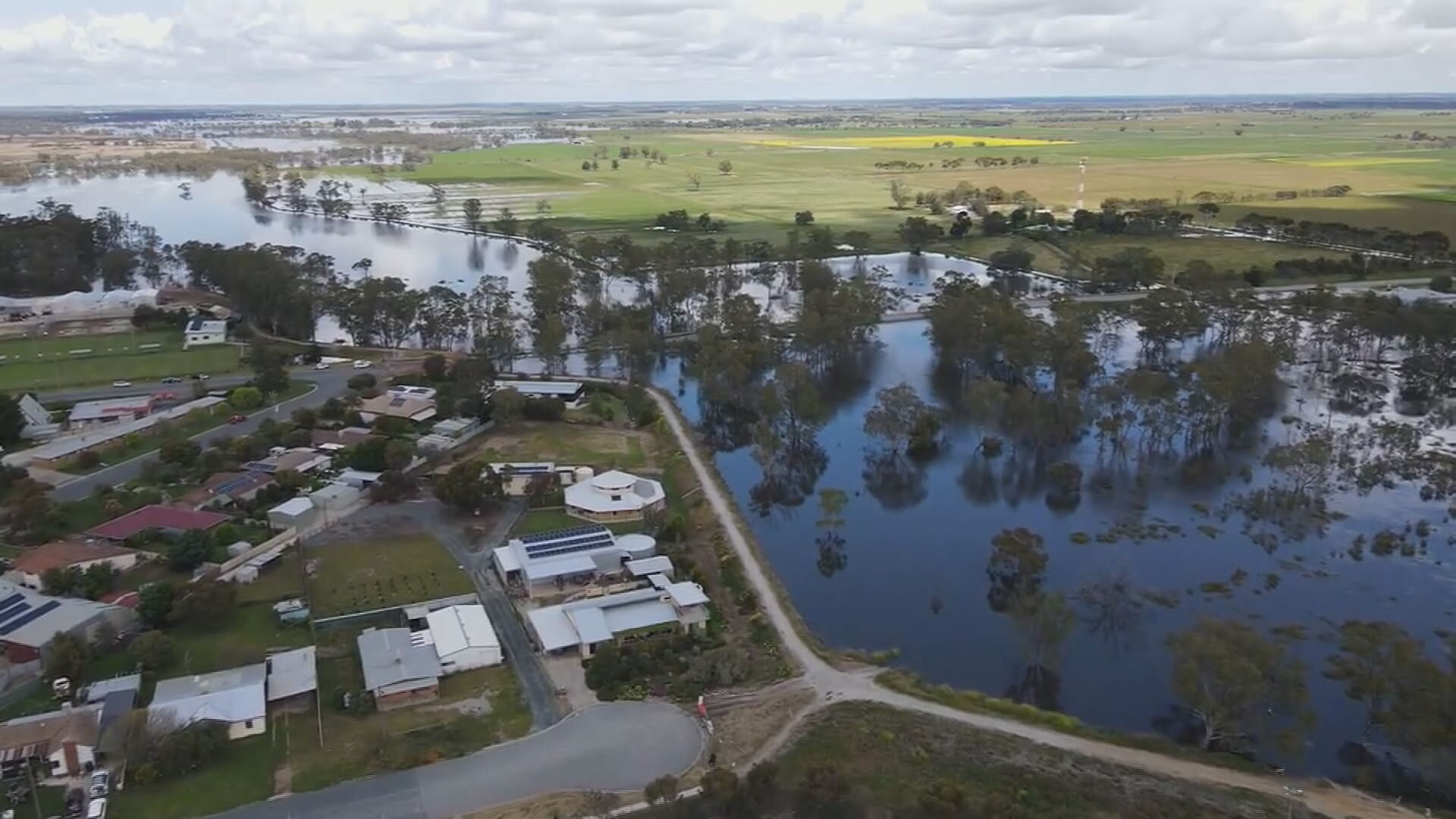
A more immediate threat has emerged in Kerang, about 280 kilometres north of Melbourne.
READ MORE: Australia and Japan sign 'landmark' security agreement
Authorities have gone door-to-door warning people the Loddon River which has now peaked in Kerang at 77.9 cm.
"Kerang will continue to isolated," Wiesbusch said.
Residents have been warned if they don't evacuate, they could be isolated over the next 24 to 36 hours.
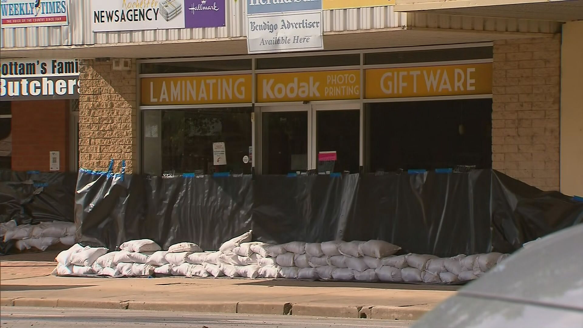
Overnight, rain battered down on the northern Victorian town of Rochester, which was already severely flooded.
The flood-weary community which is currently in the midst of a clean-up from a recent weather event is now preparing new sandbags with rain set to hit Monday and Tuesday.
Forecasters have predicted flood levels could rise again over the two days, with as many as 50 homes and properties potentially in the firing line.
Wiebusch said the Campaspe River in Rochester was now at a minor flood level.
The Australian Defence Force have sent 350 personnel to help on the ground in Victoria as the flood emergency continues into the new week.
Bureau expects rain to continue
Bureau of Meteorology senior meteorologist Michael Efron said significant rainfall fell on Saturday night.
Efron said 18mm of rain fell in 20 minutes near Stawell and 10 to 20mm in parts of Victoria's northwest.
Overnight Sunday and into Monday, the Bureau is expecting rains to extend further south and become more extensive into Monday.
Throughout Monday, rainfall totalling 15-30mm is expected across much of north-western Victoria.
"The rain will fall on those already very wet catchments," Efron said.
However, in some welcomed news, the rainfall looks to settle down after Tuesday.
Residents can find the latest emergency alerts through VicEmergency and weather warnings are on the Bureau of Meteorology website.
Source: 9News


