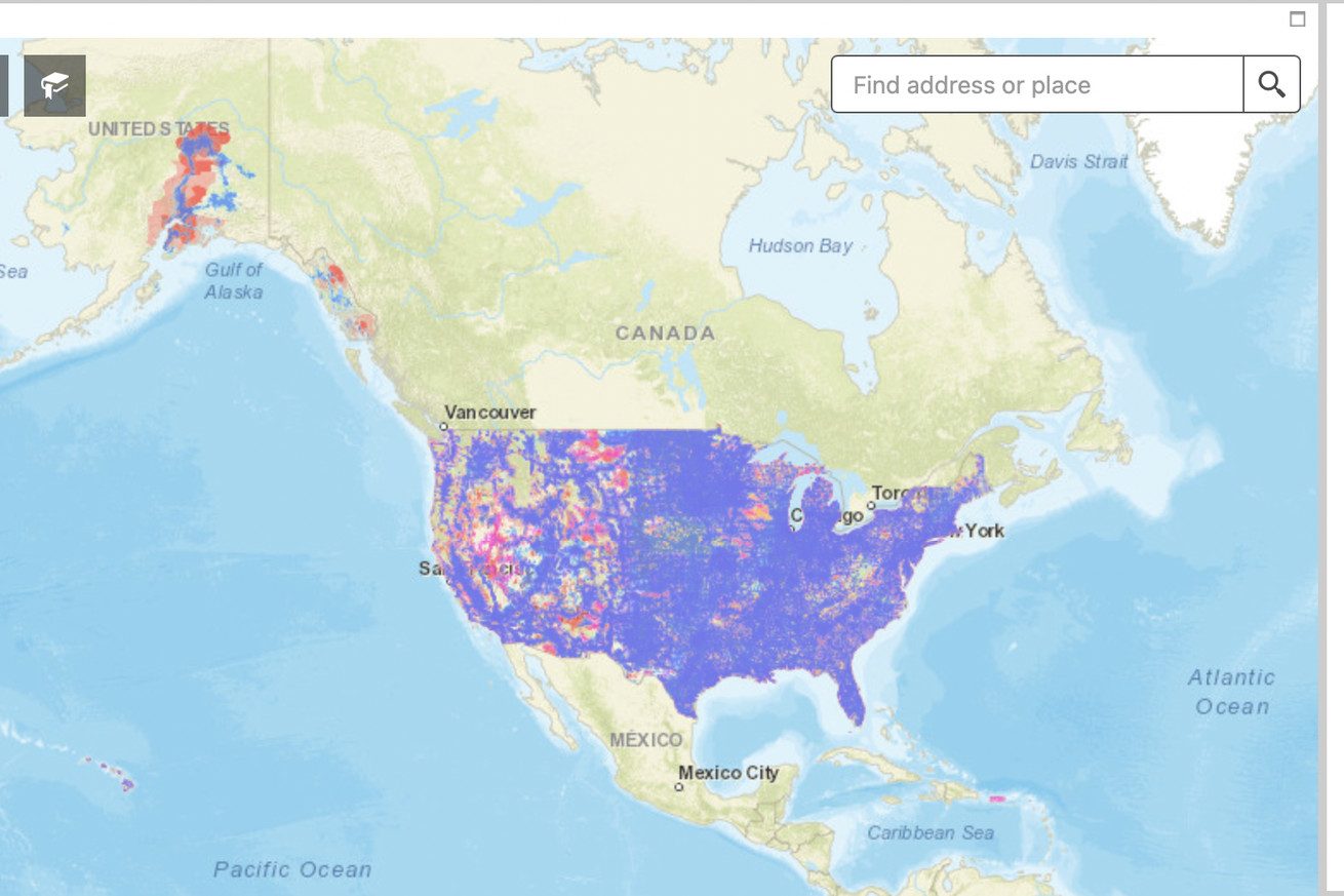
Cell network coverage maps have always been dubiously accurate in the US, and even the ones released by the FCC in 2021 come with a ton of asterisks. A company called Ranlytics is hoping to make a much more accurate picture by attaching equipment to some of the mail trucks that are already driving to many locations in the US to deliver parcels and letters (via Light Reading). The data it collects will provide info on coverage quality “in a given town, on a given road, even at a given address”says the company’s CEO Keith Sheridan in an interview with The Verge.
In a press release earlier this week, Ranlytics says it’s working with the US Postal Service to measure AT&T, T-Mobile, and Verizon’s 4G and 5G networks in Seattle and that it’s…
Source: TheVerge