

Queensland is on high alert for a cyclone with the potential impact zone widening.
The tropical low is expected to form into Tropical Cyclone Kirrily and cross the coast in just days.
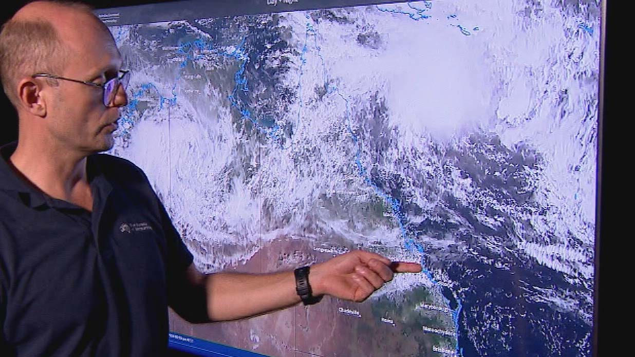
After several days of uncertainty there’s finally a clearer picture.
Police Minister Mark Ryan warned residents in parts of North and Far North Queensland to prepare their homes.
“it is likely that a system will form sometime tomorrow in the Coral Sea,” he said.
“Maybe it’s time to secure the trampoline, tidy up around the house make sure loose items are secure.”
The Bureau of Meteorology today released its first track map of the cyclone in waiting.
It’s now looking more likely than not to cross the coast mid-week between Cairns and Mackay.
“There’s still some doubt a few of the models do keep the cyclone off shore but the majority of what we’re looking at suggests that there will be a coastal landfall,” meteorologist Steven Hadley said.
The system will potentially hit as a category three, before moving to the south as a tropical low, bringing heavy rain with it.
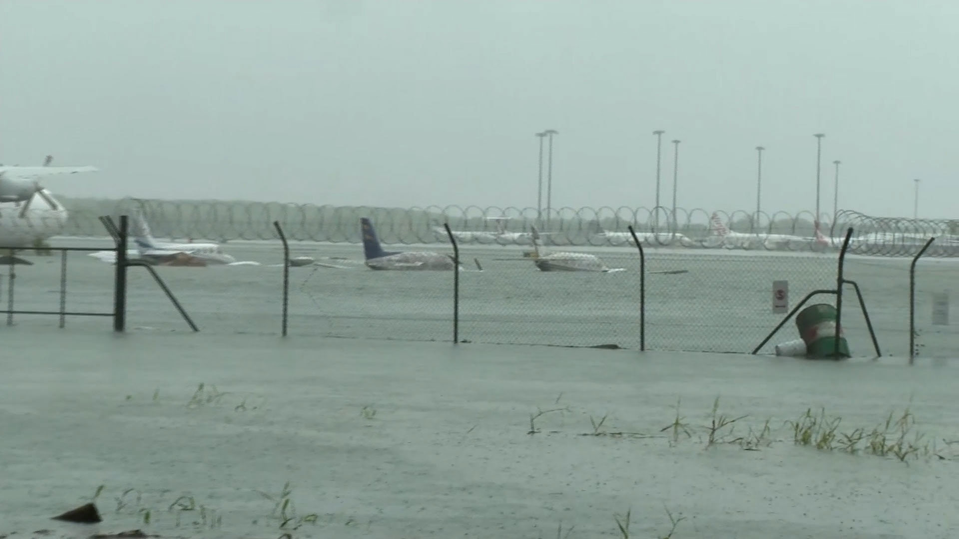
Cairns and towns to the north were hit by Cyclone Jasper just before Christmas.
Meanwhile, the state’s south-east is set for the hottest day of the year so far on Monday.
Queensland Ambulance Service said it had an increase in calls, and had contingency plans to get extra vehicles and paramedics out on the road in case the call volume rose even further.
“It’s really important that during these protracted events that we look after each other especially the vulnerable in the community,” Matthew Hannabert from Queensland Ambulance Service said.
“Paramedics will be assessing the most vulnerable and the highest acuity cases and sometimes that might lead to increased wait times in the community.”
A reprieve from the heat is expected when south-easterly winds sweep through late tomorrow.
