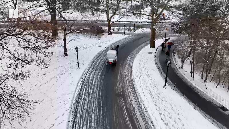
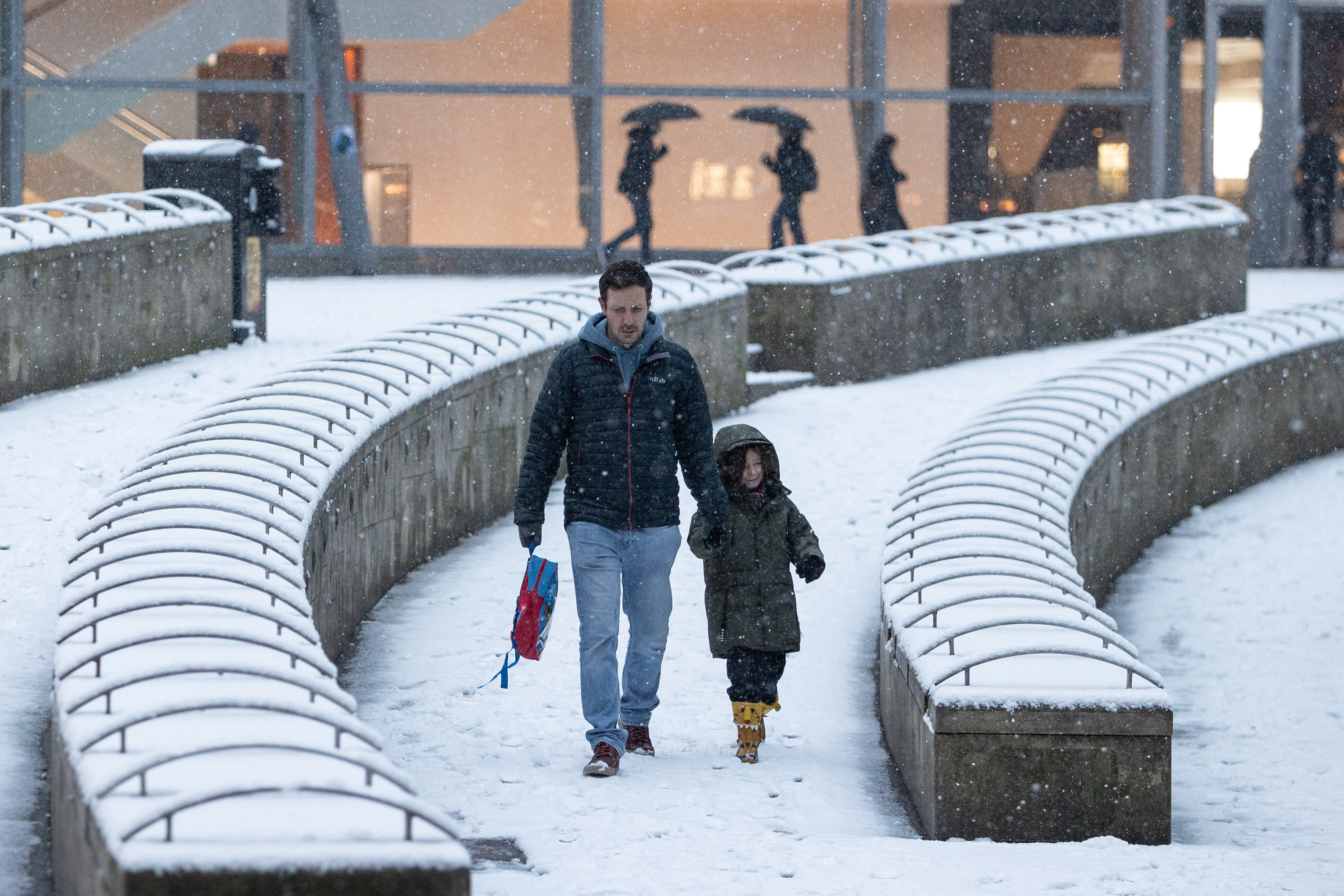
 The UK is blanketed by “unusual” danger-to-life wind warnings ahead of Storm Isha.
Storm Isha is on its way – but, as the ninth named storm the UK has faced since summer ended, why are meteorologists calling it “unusual”?
Why is Isha a ‘rare’ storm?
The UK has seen plenty of storms recently, particularly named ones – after all, Storm Henk was only earlier this month.
If a storm has been named, it means they pose a threat to life.
The Met Office names them in alphabetically order. Isha is the ninth storm of the winter season (which technically begins in September) so it is named after the ninth letter.
The Met Office has explained that storm was triggered by the subsiding of the cold Arctic air which had been hanging over the UK – meaning air from the Atlantic came in.
The weather has therefore become much milder in temperature, but it’s much wetter and windier, too.
And that’s why meteorologists keep saying Isha is of particular interest – the UK does not often see storms which see the whole country hit by weather warnings.
According to Sky News, Met Office forecaster Ellie Glaisyer said that the “main thing” about Isha is that it is “very widespread” – and it’s “relatively rare” to have the whole of the UK covered by a warning.
“That’s the main difference to previous storms we have seen,” she said.
Channel 4 weather presenter Liam Dutton echoed this, writing on X (formerly Twitter): “Storm Isha is unusual because the disruptive winds cover a very large area.”
A summary of the latest warnings for #StormIsha.
Storm Isha is unusual because the disruptive winds cover a very large area.
Even though worst of winds will be over by 6am, the impacts are likely to persist well into Monday.
It’s going to be a noisy and dangerous night! https://t.co/ul6YnJVGmx
— Liam Dutton (@liamdutton) January 21, 2024
What weather will Isha bring?
The Met Office has already issued an amber weather warning for wind for the north and south-west of England, Wales, large parts of Northern Ireland and central and southern Scotland, from Sunday into Monday.
Another warning will be introduced for Sussex and Kent from Monday morning.
Winds of up to 80mph are expected along the UK coasts, and many places will see gusts of 50-60mph inland.
There’s a risk to life in coastal areas, and yellow flood warnings are expected for the next two days.
Ireland’s meteorological service, Met Eireann, has also introduced amber wind warnings for Sunday, which will escalate into a red storm warning for coastal areas in the north of the country on Monday.
Amber means there’s a good chance of power cuts, and other services could be impacts. Buildings may be damaged, journeys may be lengthened or cancelled altogether and some roads and bridges may close.
It also means injuries and danger to life likely from large waves and beach material thrown onto coastal roads, sea fronts and property.
A red weather warning means people need to seek cover and protect themselves or their properties.
A yellow wind warning will be in place covering Northern Ireland, north Wales, northern England and much of Scotland from Tuesday until midday on Wednesday.
The winds will gradually east throughout Monday, and overnight it should be a “calmer interlude” according to the Met Office – although it will be wet and windy again on Tuesday.
Related…