Tropical Cyclone Narelle barrelled onto the Queensland coast as a category 4 system Friday morning, bringing destructive winds and a torrent of rain along its path.
The system made landfall north east of Coen around 8am (9am AEDT) and began tracking west across the Cape York Peninsula.
The system was expected to be downgraded to a category 2 Friday afternoon, before passing through the communities of Weipa and Aurukun, and then sweeping into the Gulf of Carpenteria.
AS IT HAPPENED: Narelle leaves trail of destruction as it moves across Cape York Peninsula

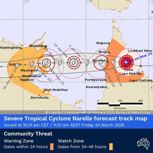
Communities in the Northern Territory were on alert for the storm to intensify over water before it makes landfall there late Saturday.
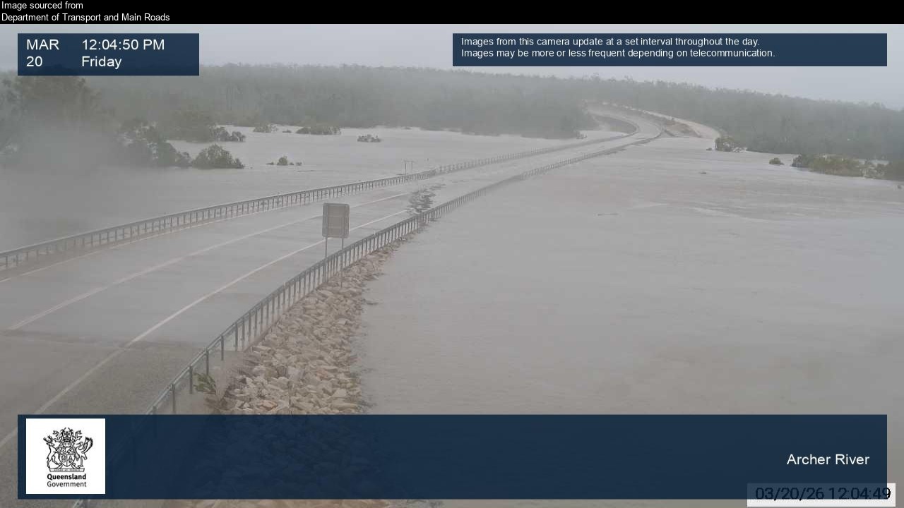
Affected towns have received more than 100mm of rain in 24 hours, some copping up to four times that, as the cyclone dumped intense rain.
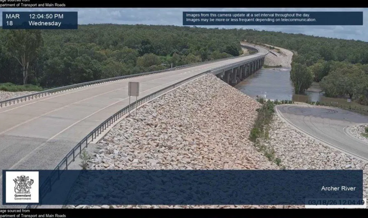
The Bureau of Meteorology's flood watch for North Queensland on Friday covered the entire peninsula from the Herbert River up through the rivers, creeks and streams across the Cape.
READ MORE: Hammer blow for Aussies as oil crisis to send cost of flying domestic sky high
There were no reports of fatalities or serious injury, according to the Queensland Ambulance Service.
Hundreds of homes were without power, particularly in Coen and Lockhart River, where authorities warned of fallen powerlines.
A strong storm surge pushed waves onto paths and coastal roads as far south as Cairns, dragging trees, paths and benches into the ocean.
Emergency crews took to the streets as soon as it was safe to begin the clean up, but many roads have been cut by floodwater and fallen trees.
Northern Territory next in firing line
The Bureau predicts the cyclone will reach the east coast of the top end of the Northern Territory, north of Groote Island as a category 3 tropical cyclone on Saturday.
The potential for flooding across the Northern Territory will be greatest on Sunday, when the cyclone further downgrades to an eventual low pressure system.
Meteorologist Angus Hines said this means more heavy rain for areas already impacted by significant flooding in recent weeks.
"We could see rainfall in excess of 100 to 200mm along the path of that tropical cyclone, stretching from Alyangula on the east coast to the Katherine area, and out to Wadeye on the western side of the Top End," Hines said.
"These rainfall numbers are significant, with isolated values above that during Sunday and into early Monday morning, and are likely to lead to renewed river rises across the top end, including the potential for renewed major flooding around Katherine and Beswick, and prolonged major flooding around the Daly River."
Heavy rain and strong winds will then reach the northern Kimberley, Kalumburu and areas north of Kununurra early next week.
NEVER MISS A STORY: Get your breaking news and exclusive stories first by following us across all platforms.
- Download the 9NEWS App here via Apple and Google Play
- Make 9News your preferred source on Google by ticking this box here
- Sign up to our breaking newsletter here