
Days before winter officially begins, Australians are getting a preview of what's in store for the next three months – and it might not be the season many were expecting.
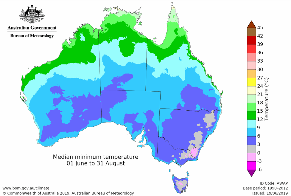
After a warmer-than-usual autumn, the Bureau of Meteorology's long-range outlook shows that much of the country is heading for a double dose of milder daytime conditions and warmer-than-normal nights.
Meanwhile, the southern half of the continent is on track for a parched winter, with rainfall expected to fall well short of typical totals.

Temperatures tipped to stay above average
While the forecast points to a milder winter overall, the Bureau says cold snaps, frosts and snow are still possible.
The strongest signals for warmer conditions stretch across much of southern Australia.
Victoria, Tasmania, NSW, southern Queensland, South Australia, and broad areas of Western Australia are at increased risk of above-average daytime and night-time temperatures.
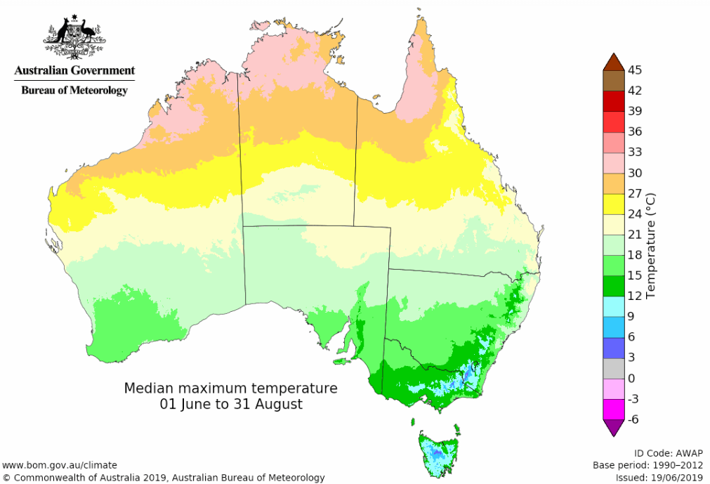
The forecast follows an uncharacteristically warm autumn. Several slow-moving high-pressure systems brought unseasonably warm weather to the south-east, with Hobart reaching 26.9 degrees on May 1 – its highest-ever May temperature on record, dating back to 1882.
READ MORE: End in sight for rain, storms hammering east coast
Less rain forecast for much of the country
Rainfall is likely to be below average across large parts of southern, central and eastern Australia.
That includes most of NSW and the ACT, much of Victoria, South Australia, southern Queensland and the south-west of Western Australia.
The forecast does not mean those areas will miss out on rain entirely. Winter typically delivers between 100 and 400 millimetres of rain to many southern coastal regions, with lower totals inland.
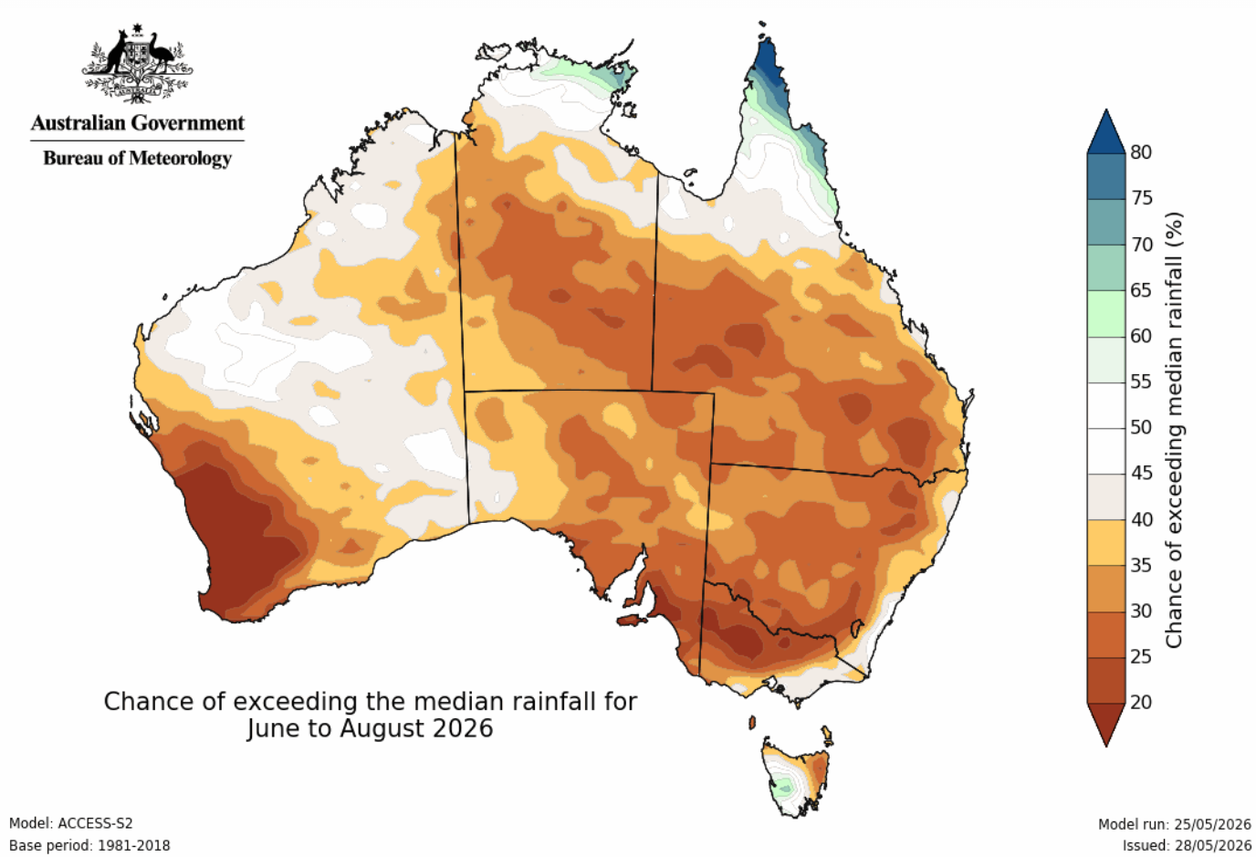
The Bureau says rain-bearing systems are still expected this season, though overall totals are likely to be lower than usual.
Some regions have a less certain outlook. Parts of Victoria's south-east and sections of the NSW coast have roughly equal chances of recording above-average, below-average or near-average rainfall.
Tasmania is also bucking the broader trend, with above-average rainfall forecast for parts of the state's south-west.

Water storage and soils under pressure
This dry outlook comes as water systems in the south and west face mounting pressure. Australia's combined water storages are currently around 65% full, but many individual reservoirs have fallen below the halfway mark.
Notably, storage in the critical Murray-Darling Basin is at just 48 per cent capacity – about 9 per cent lower than this time last year.
Soil moisture also tells two different stories. While late autumn rains boosted root-zone moisture in eastern NSW and southern Queensland, soils in Western Australia have dried out rapidly.
While most southern agricultural regions experienced an early autumn break in March, farmers in parts of central Victoria are still waiting on that crucial opening rainfall to kickstart their winter crops.
What about the capitals?
The warmer weather is expected to be felt across most major cities.
Sydney, Melbourne, Brisbane, Adelaide, Perth, Canberra and Hobart all sit within regions where above-average winter temperatures are likely.
Darwin is firmly in its tropical dry season, with daytime temperatures in some northern areas expected to track closer to average.
Snow still expected in the alpine regions
While warmer conditions are expected across the board, cold outbreaks can still bring snow.
Australia's alpine regions have already seen flakes this year, with parts of the Victorian and NSW Alps recording their first snowfall in late March.
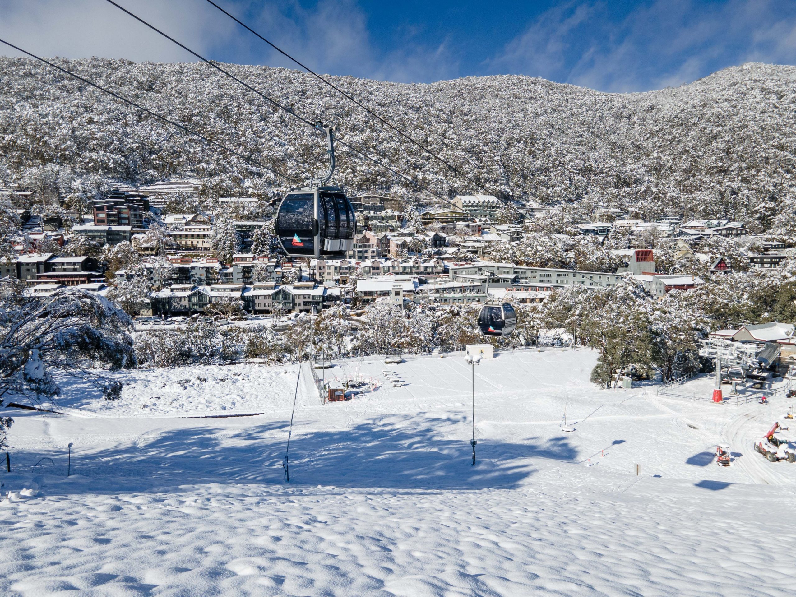
Tasmania also experienced snow in elevated areas during early January.
The Bureau says snow can occur whenever freezing air combines with enough moisture, and a handful of strong cold fronts can have a major impact on seasonal totals.
Because individual weather systems heavily influence snowfall, the Bureau does not issue seasonal snow outlooks.
El Niño likely to develop
Forecasters are also keeping a close eye on the Pacific Ocean, where climate models indicate El Niño is likely to develop during winter.
The El Niño-Southern Oscillation is currently in a neutral phase, but all major models suggest conditions are trending towards El Niño.
READ MORE: More signs El Niño is coming to Australia over winter
The weather system can influence rainfall patterns across northern, central and eastern Australia from winter into early summer, although the Bureau notes no two events are exactly alike.
While an El Niño event has not yet been formally declared, sea surface temperatures are already tracking well above average – particularly along the NSW coast and Tasmania, where marine temperatures are sitting up to 4 degrees higher than normal.
Increased fire risk in some areas
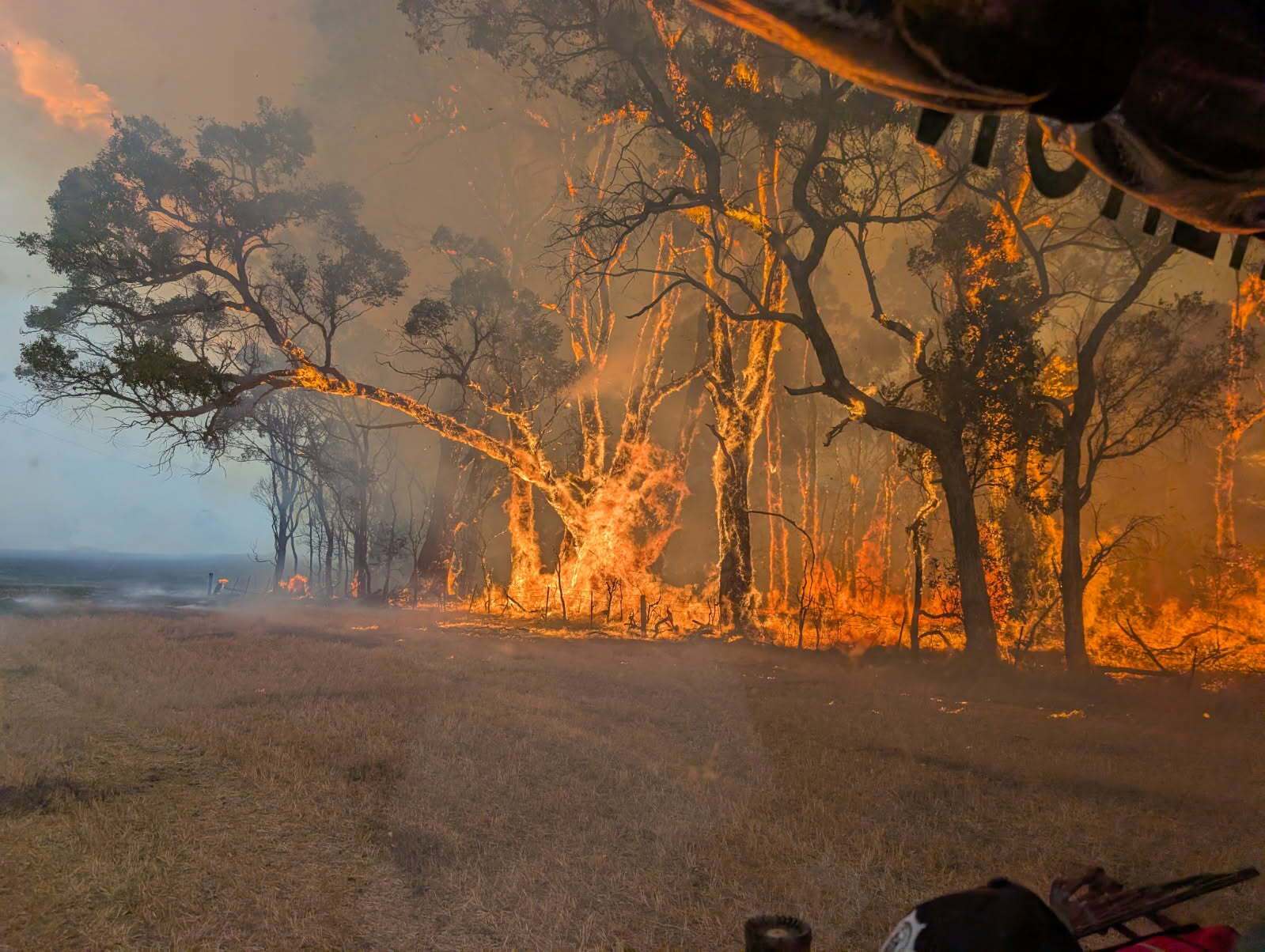
The winter bushfire outlook also highlights an elevated fire risk in parts of NSW and Western Australia.
The drivers behind the risk vary by state. In NSW, the danger is fuelled by prolonged dry conditions across central and northern regions.
Elsewhere, Western Australia's elevated risk in the north-west stems from a heavy wet season, which left behind abundant vegetation that is expected to dry out in the coming months.